 Croatia · 9th century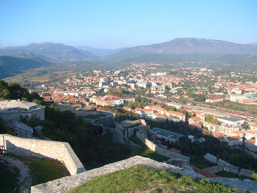
Knin Fortress (Croatian: Kninska tvrđava) is located near the tallest mountain in Croatia, Dinara, and near the source of the river Krka. It is the second largest fortress in Croatia and most significant defensive stronghold, and a historical town in the Šibenik-Knin County in the Dalmatian Hinterland. The construction of the fortress started as early as 9th century, while the current state was brought up in 17th and 18th centuries. It reached its peak during the reign of Demetrius Zvonimir, King of Croatia from 1076, as it served as a political center of the Croatian Kingdom under him.
Text adapted from “Knin Fortress” on Wikipedia, CC BY-SA 4.0.
Knin Fortress ranks #1,577 of 9,079 worldwide in the atlas's castle fame ranking, and #14 of the 79 mapped in Croatia. Founded c. 850, it is older than 94% of the atlas's dated landmarks — one of 88 atlas entries founded in the 9th century. Its Wikipedia articles were opened 2,228 times in the last 60 days, more than 72% of the atlas. 2 more atlas landmarks stand within 25 km. The nearest day-trip guide is Split, 62 km away. It is one of the 32 landmarks on the atlas's regional map of Dalmatia. See how Croatia compares in the castle statistics.
View on the interactive castle map →