Fortaleza
Saint-Nazaire pocket
🇫🇷 Francia
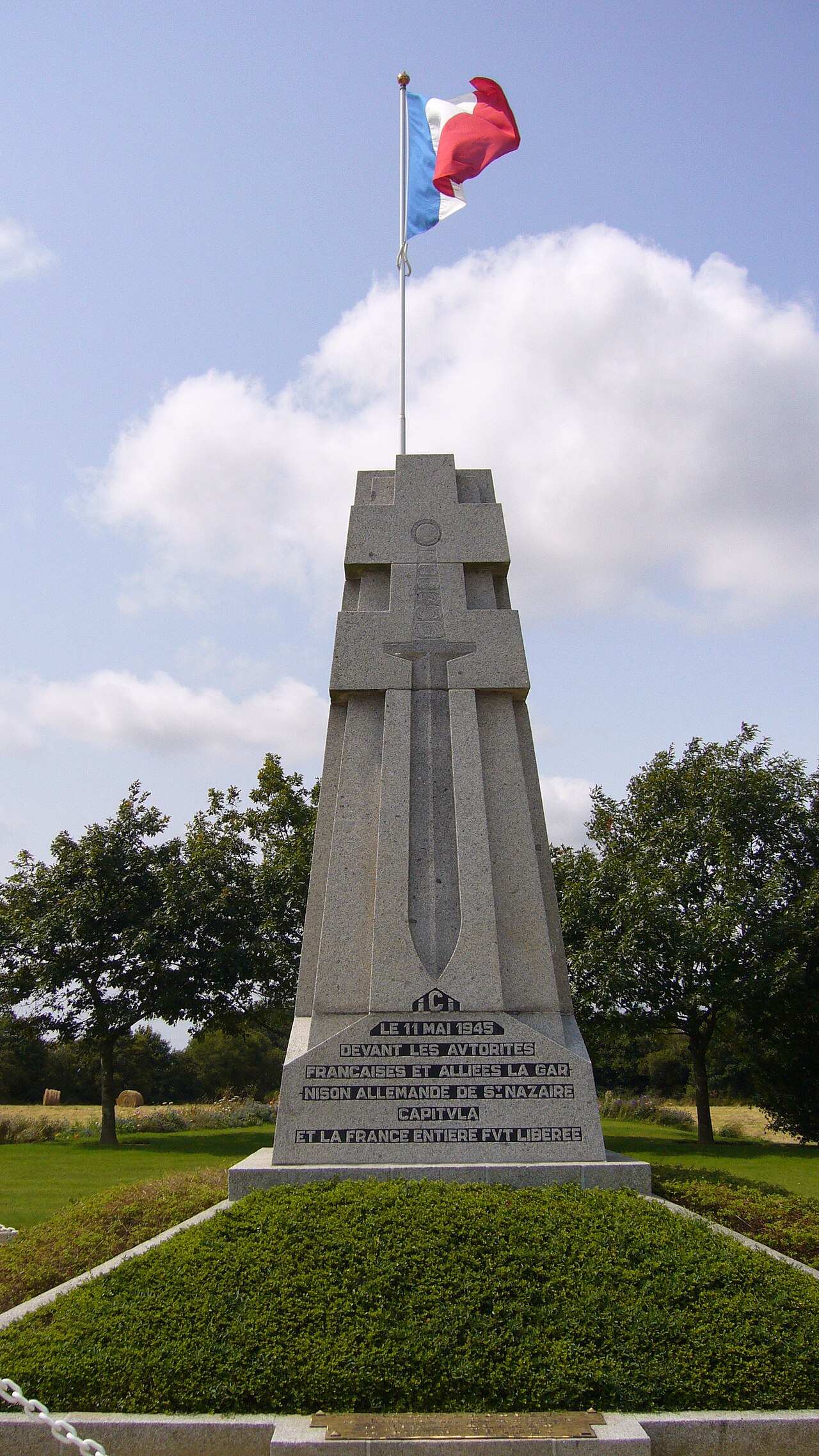
La bolsa de Saint-Nazaire (en alemán: Festung St. Nazaire; en francés: Poche de Saint-Nazaire) fue una bolsa atlántica que existió desde agosto de 1944 hasta el 11 de mayo de 1945 y que se formó por la retirada de las tropas alemanas del Loira Inferior (hoy Loira Atlántico) durante la liberación del departamento por las fuerzas aliadas.
Traducción automática de «Saint-Nazaire pocket» en la Wikipedia en inglés, CC BY-SA 4.0.
Saint-Nazaire pocket ocupa el puesto 3140 de 8134 en el mundo en la clasificación de fama de este atlas y el n.º 233 de los 525 que el atlas cartografía en Francia. Sus artículos de Wikipedia se abrieron 4552 veces en los últimos 60 días, más que el 83% del atlas. En 25 km a la redonda hay otros 2 monumentos del atlas. Compara el dato en las estadísticas de castillos.
Ver en el mapa interactivo de castillos →Preguntas frecuentes
¿Dónde está Saint-Nazaire pocket?
La fortaleza se encuentra en Francia, en las coordenadas 47.2806°, -2.2086°.
¿Qué puesto ocupa Saint-Nazaire pocket en la clasificación por fama?
En la clasificación por fama de este atlas: n.º 3140 de 8134 en el mundo, y n.º 233 en Francia. La fama combina en cuántas ediciones de Wikipedia aparece un monumento y cuánta gente las lee.
¿Qué castillo está más cerca de Saint-Nazaire pocket?
Château de Ranrouët, a unos 19 km.
Más castillos en Francia
- Fort de Bourlémont Francia · siglo XIX
- Fort de Seclin Francia · siglo XIX
- Fort d'Ivry Francia · siglo XIX
- Hohenzollern Redoubt Francia
Más fortalezas
- Priamar Fortress Italia · siglo XVI
- Fortress of Niha Líbano · siglo X
- Christianpris Alemania
- Dömitz Fortress Alemania · siglo XVI