Vesting
Saint-Nazaire pocket
🇫🇷 Frankrijk
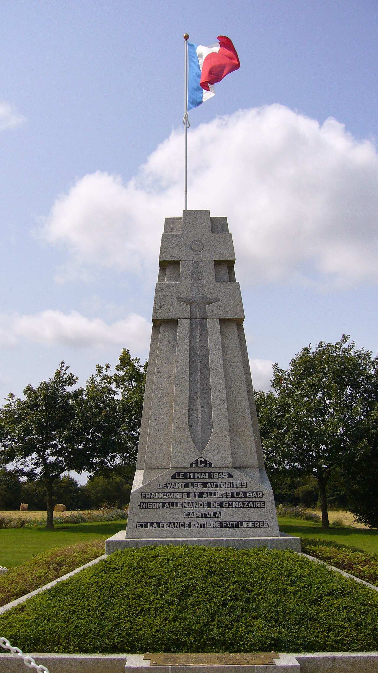
De Ketel van Saint-Nazaire (Duits: Festung St. Nazaire, Frans: Poche de Saint-Nazaire) was een Atlantische ketel die bestond van augustus 1944 tot 11 mei 1945 en die ontstond door de terugtrekking van Duitse troepen uit Loire-Inférieure (nu Loire-Atlantique) tijdens de bevrijding van het departement door de geallieerde strijdkrachten.
Machinaal vertaald uit “Saint-Nazaire pocket” op de Engelstalige Wikipedia, CC BY-SA 4.0.
Saint-Nazaire pocket staat op plaats 3.140 van 8.134 in de bekendheidsranglijst van deze atlas en op plaats 233 van de 525 die de atlas in Frankrijk in kaart brengt. De Wikipedia-artikelen erover werden de afgelopen 60 dagen 4.552 keer geopend, meer dan 83% van de atlas. Binnen 25 km staan nog 2 andere bouwwerken uit de atlas. Zie hoe dat zich verhoudt in de kastelenstatistiek.
Bekijk op de interactieve kastelenkaart →Veelgestelde vragen
Waar ligt Saint-Nazaire pocket?
Saint-Nazaire pocket ligt in Frankrijk, op 47.2806°, -2.2086°.
Hoe bekend is Saint-Nazaire pocket?
In de bekendheidsranglijst van deze atlas: plaats 3.140 van 8.134 wereldwijd, plaats 233 in Frankrijk. Bekendheid combineert het aantal Wikipedia-taalversies met het aantal lezers.
Welk kasteel ligt het dichtst bij Saint-Nazaire pocket?
Het Kasteel van Ranrouët, ongeveer 19 km verderop.
Meer kastelen in Frankrijk
- Fort de Bourlémont Frankrijk · 19e eeuw
- Fort de Seclin Frankrijk · 19e eeuw
- Fort d'Ivry Frankrijk · 19e eeuw
- Hohenzollern Redoubt Frankrijk
Meer vestingen
- Priamar Fortress Italië · 16e eeuw
- Fortress of Niha Libanon · 10e eeuw
- Christianpris Duitsland
- Dömitz Vesting Duitsland · 16e eeuw