Fortress
Saint-Nazaire pocket
🇫🇷 France
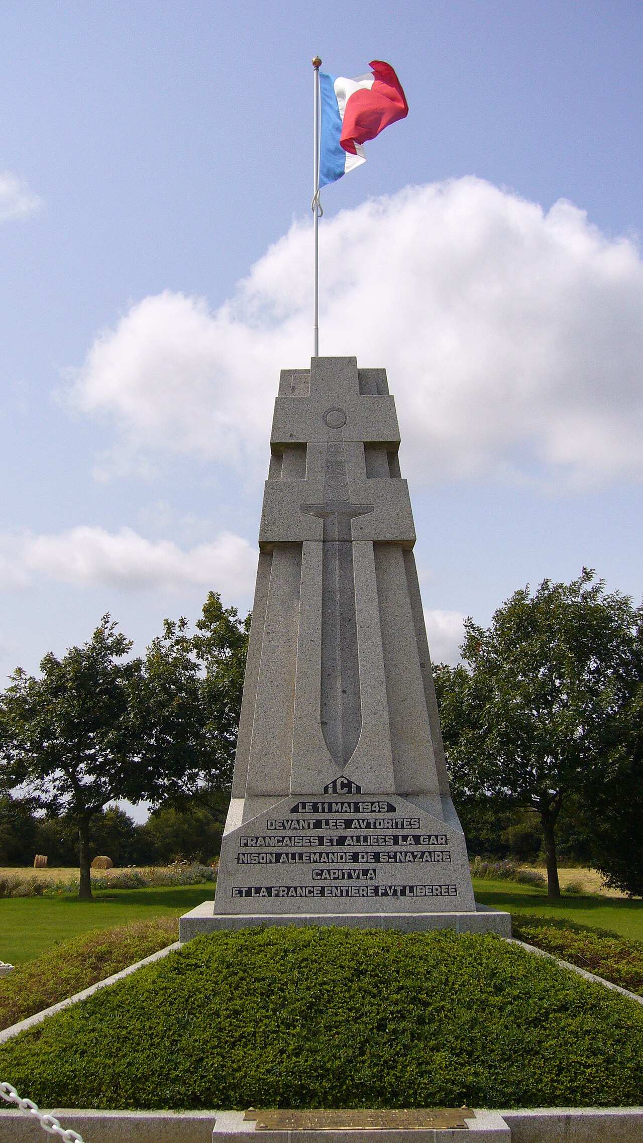
The Saint-Nazaire Pocket (German: Festung St. Nazaire, French: Poche de Saint-Nazaire) was an Atlantic pocket that existed from August 1944 until 11 May 1945 and was formed by the withdrawal of German troops from Loire-Inférieure (now Loire-Atlantique) during the liberation of the department by the allied forces. It was centred around the port and the submarine base of Saint-Nazaire and extended to the east as far as Saint-Omer-de-Blain and from La Roche-Bernard in the north to Pornic in the south.
Text adapted from “Saint-Nazaire pocket” on Wikipedia, CC BY-SA 4.0.
Saint-Nazaire pocket ranks #3,140 of 8,134 worldwide in the atlas's castle fame ranking, and #233 of the 525 mapped in France. Its Wikipedia articles were opened 4,552 times in the last 60 days, more than 83% of the atlas. 2 more atlas landmarks stand within 25 km. See how France compares in the castle statistics.
View on the interactive castle map →Frequently asked questions
Where is Saint-Nazaire pocket?
Saint-Nazaire pocket stands in France, at 47.2806°, -2.2086°.
How famous is Saint-Nazaire pocket?
In this atlas's fame ranking: #3,140 of 8,134 worldwide, and #233 in France. Fame here combines how many Wikipedia language editions cover a landmark with how many people read them.
What is the nearest castle to Saint-Nazaire pocket?
Château de Ranrouët, about 19 km away.
More castles in France
- Fort de Bourlémont France · 19th century
- Fort de Seclin France · 19th century
- Fort d'Ivry France · 19th century
- Hohenzollern Redoubt France
More fortresses
- Priamar Fortress Italy · 16th century
- Fortress of Niha Lebanon · 10th century
- Christianpris Germany
- Dömitz Fortress Germany · 16th century