 Greece · 4th century BC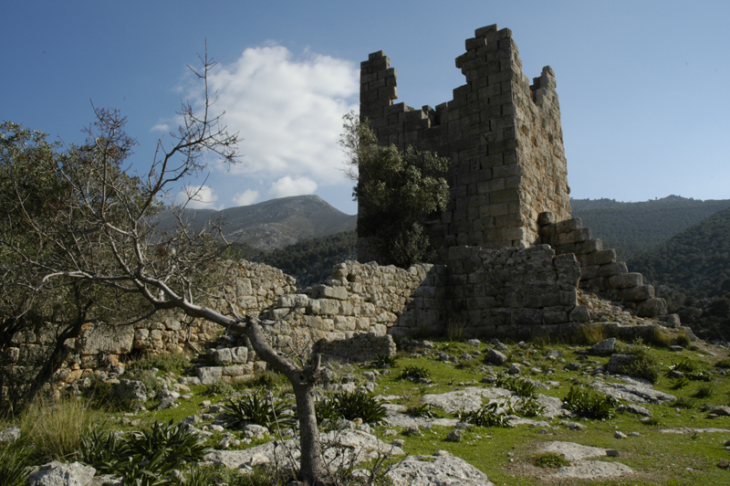
Aigosthena (Ancient Greek: Αἰγόσθενα) was an ancient Greek fortified port city of Megaris, 19 km (12 mi) northwest of the ancient city of Megara to which it belonged. It is also the name of the coastal settlement at the foot of the ancient city walls, also known as Porto Germeno. The ancient citadel which stands at the foot of Mt Cithaeron and extends down to the sea at the inlet of Aigosthena, on the east side of the Gulf of Corinth, is famous for retaining several of the tallest surviving towers of ancient Greece.
Text adapted from “Aigosthena” on Wikipedia, CC BY-SA 4.0.
Aigosthena ranks #1,969 of 9,079 worldwide in the atlas's castle fame ranking, and #38 of the 134 mapped in Greece. Founded c. 350 BC, it is older than 99% of the atlas's dated landmarks — one of 15 atlas entries founded in the 4th century BC. Its Wikipedia articles were opened 2,191 times in the last 60 days, more than 71% of the atlas. 3 more atlas landmarks stand within 25 km. The nearest day-trip guide is Athens, 47 km away. See how Greece compares in the castle statistics.
View on the interactive castle map →