Castlemap

Ruin

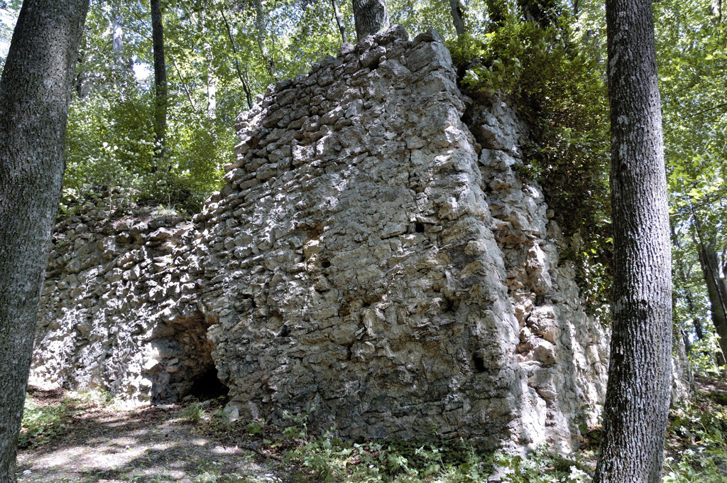
Arnstein ruins

🇦🇹 Austria · 12th century

Arnstein ruins in Austria
Photo: Doronenko · CC BY 3.0 · Wikimedia Commons

Arnstein is a 12th-century castle ruin, located above Maria Raisenmarkt in Austria. In 1529 Arnstein was destroyed by Turkish troops in the Siege of Vienna.

Text adapted from “Arnstein Castle (Austria)” on Wikipedia, CC BY-SA 4.0.

Arnstein ruins ranks #5,825 of 8,133 worldwide in the atlas's castle fame ranking, and #155 of the 201 mapped in Austria. Founded c. 1150, it is older than 81% of the atlas's dated landmarks — one of 563 atlas entries founded in the 12th century. 14 more atlas landmarks stand within 25 km. The nearest day-trip guide is Vienna, 30 km away. See how Austria compares in the castle statistics.

View on the interactive castle map →

Read the full history on Wikipedia ↗

Frequently asked questions

Where is Arnstein ruins?

Arnstein ruins stands in Austria, at 48.02949°, 16.06602°.

When was Arnstein ruins built?

The atlas dates its founding to c. 1150. Earlier structures may have stood on the site; this is the earliest documented founding year.

How famous is Arnstein ruins?

In this atlas's fame ranking: #5,825 of 8,133 worldwide, and #155 in Austria. Fame here combines how many Wikipedia language editions cover a landmark with how many people read them.

What is the nearest castle to Arnstein ruins?

Mayerling Castle, about 3 km away.

More castles in Austria

More ruins