Ruin
Babylon Fortress
 Egypt · 3rd century
- Founded
- c. 300
- Location
- Cairo Governorate
- Coordinates
- 30.0061°, 31.2297°
- Open data
- Wikidata Q2421968
- Links
- Wikimedia Commons
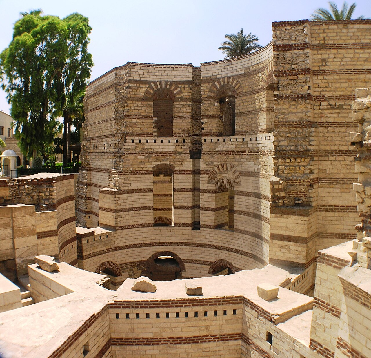
Description
Babylon Fortress (Arabic: حصن بابليون; Coptic: ⲡⲁⲃⲓⲗⲱⲛ or Ⲃⲁⲃⲩⲗⲱⲛ) is an ancient Roman fortress on the eastern bank of the Nile Delta, located in the area known today as Old Cairo or Coptic Cairo. The fortress was built circa 300 AD by Emperor Diocletian in order to protect the entrance to an ancient canal, previously rebuilt by Trajan, that linked the Nile with the Red Sea.
It was at the boundary between Lower and Middle Egypt, where the river craft paid tolls when ascending or descending the Nile. Within the fortress's former enclosure are the present-day Coptic Museum, a convent, and several churches, including the Church of St. George and the Hanging Church.
Text adapted from “Babylon Fortress” on Wikipedia, CC BY-SA 4.0.
In the rankings
Babylon Fortress ranks #490 of 9,902 worldwide in the atlas's castle fame ranking, and #4 of the 37 mapped in Egypt. Founded c. 300, it is older than 97% of the atlas's dated landmarks, one of 29 atlas entries founded in the 3rd century. Its Wikipedia articles were opened 7,954 times in the last 60 days, more than 93% of the atlas. 16 more atlas landmarks stand within 25 km. The nearest day-trip guide is Cairo, 4 km away. See how Egypt compares in the castle statistics.
Castles nearby
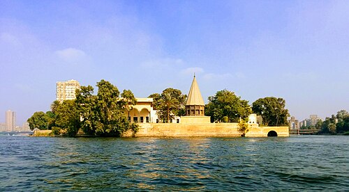
- Manasterly Palace1 km · Egypt
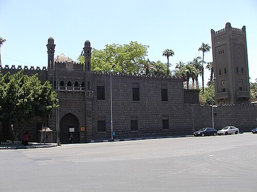
- Manial Palace and Museum2 km · Egypt
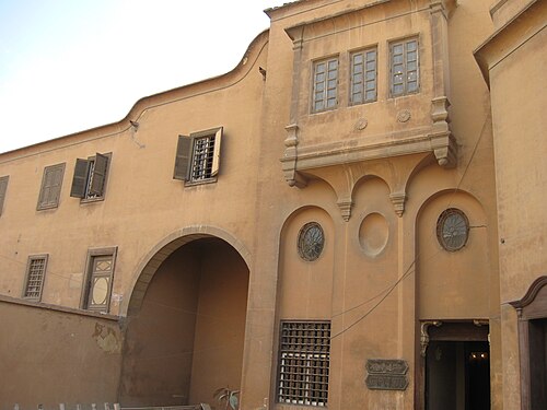
- Al-Gawhara Palace4 km · Egypt
- Palace of Yashbak4 km · Egypt
More castles in Egypt
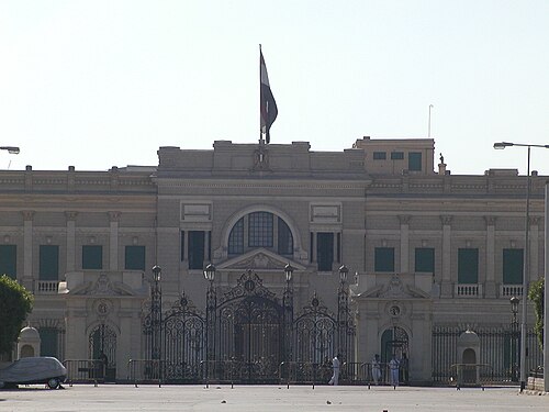
- Abdeen PalaceEgypt · 19th century
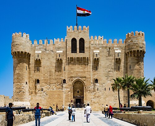
- Citadel of QaitbayEgypt · 15th century
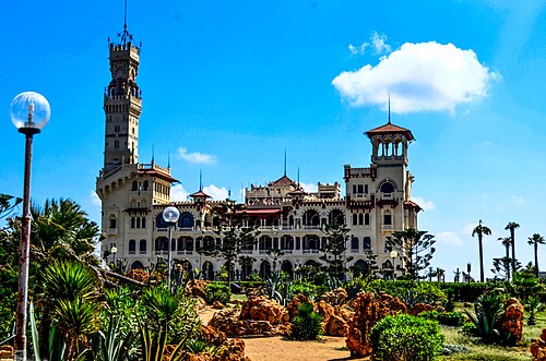
- Montaza PalaceEgypt · 19th century
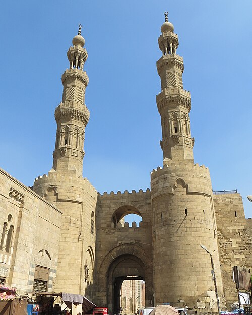
- Bab ZuweilaEgypt · 11th century