Ruin
Baldern Castle
 Switzerland · 11th century
- Founded
- c. 1050
- Heritage status
- class B Swiss cultural property of regional significance
- Location
- Stallikon
- Coordinates
- 47.31472°, 8.50565°
- Open data
- Wikidata Q1010900
- Links
- Wikimedia Commons
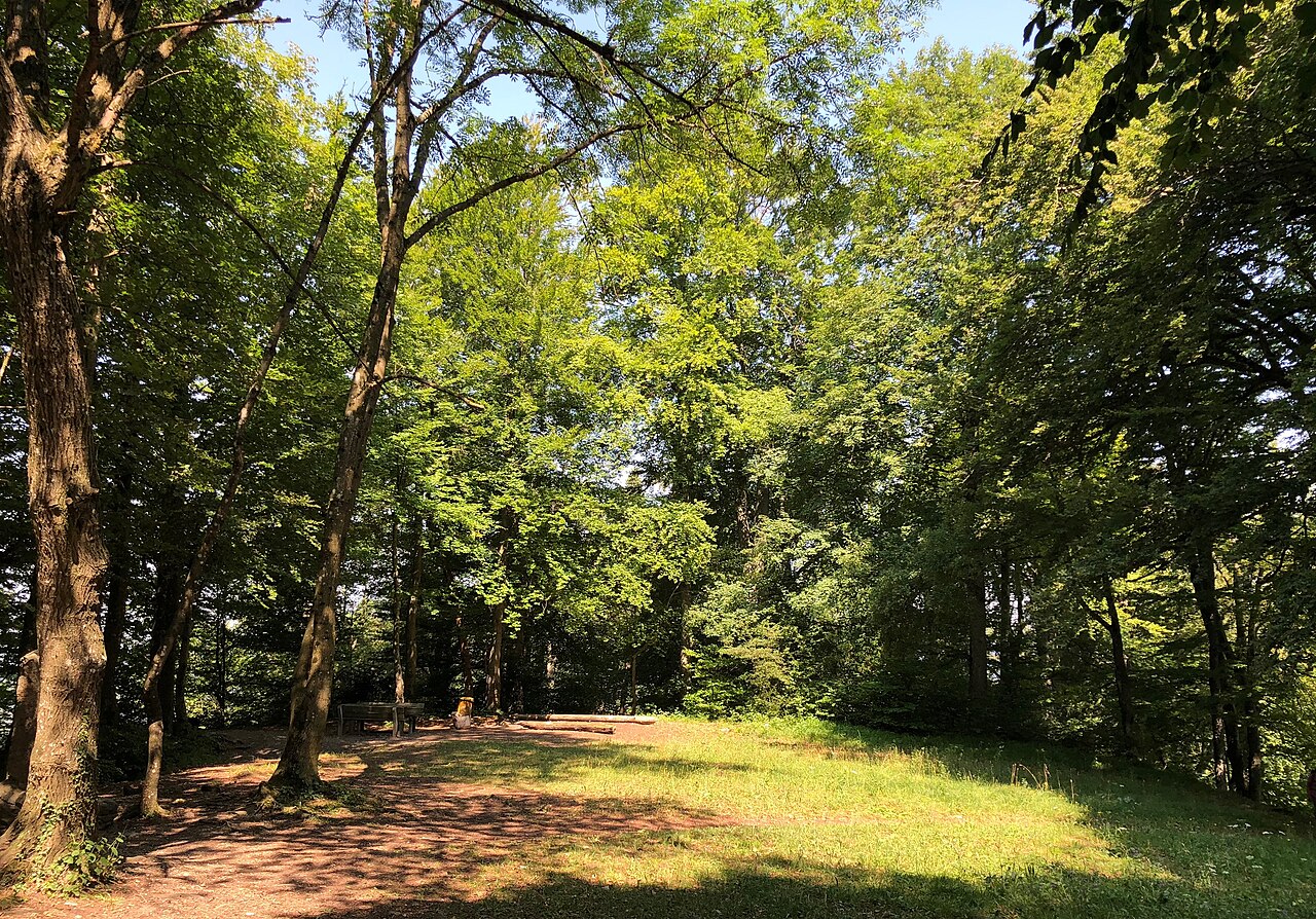
Description
Baldern Castle (German: Burg Baldern or Burgstelle Baldern) is a former castle in the municipality of Stallikon and the canton of Zürich in Switzerland. The remains of the castle comprise a set of earthworks, situated on the Albis ridge at some 810 metres (2,660 ft) above sea level and about 4 kilometres (2.5 mi) south of the summit of Uetliberg. The earthworks are obscured by the site's woodland nature.
A legend recorded ca. 1510 suggests that the castle was built by Ludwig the German, the first king of East Francia, in the 9th century, but there is no strong evidence for this.
The castle is known to have been owned by the Counts of Lenzburg in the 12th century. There have been no significant archeological investigations of the site, and the date and reason it was abandoned is unknown.
The site of the castle lies about 500 metres (1,600 ft) walk north of the upper station of the Adliswil-Felsenegg cable car at Felsenegg. The panoramic footpath from Uetliberg to Felsenegg passes through the old castle site.
Text adapted from “Baldern Castle” on Wikipedia, CC BY-SA 4.0.
In the rankings
Baldern Castle ranks #8,507 of 9,902 worldwide in the atlas's castle fame ranking, and #176 of the 227 mapped in Switzerland. Founded c. 1050, it is older than 89% of the atlas's dated landmarks, one of 458 atlas entries founded in the 11th century. 11 more atlas landmarks stand within 25 km. The nearest day-trip guide is Winterthur, 26 km away. See how Switzerland compares in the castle statistics.
Castles nearby
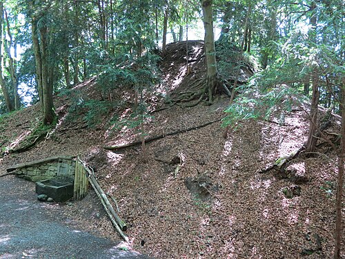
- Manegg Castle2 km · Switzerland
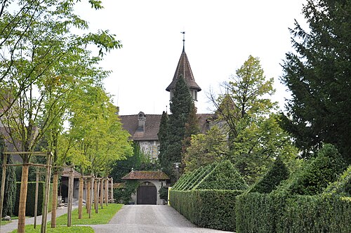
- St. Andreas Castle15 km · Switzerland
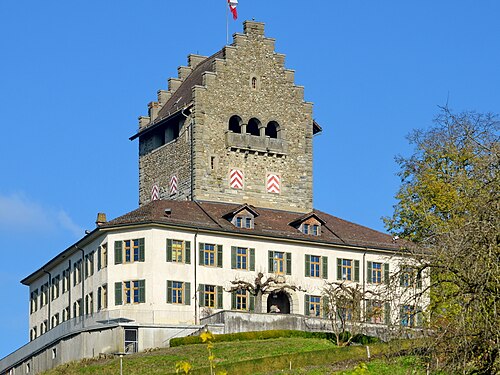
- Uster Castle16 km · Switzerland
- Zug Castle17 km · Switzerland
More castles in Switzerland
- Fracstein CastleSwitzerland · 12th century
- Castle of the Porte du ScexSwitzerland
- Champvent CastleSwitzerland · 13th century
- Grand-Vivy CastleSwitzerland