 United States · 19th century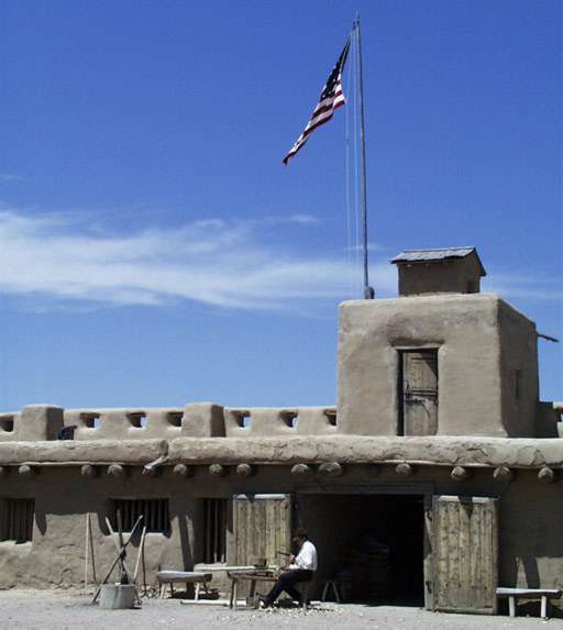
Bent's Old Fort is a historical fort located in Otero County in southeastern Colorado, United States. A company owned by Charles Bent and William Bent and Ceran St. Vrain built the fort in 1833 to trade with Southern Cheyenne and Arapaho Plains Indians and trappers for buffalo robes. For much of its 16-year operation as a trading post, the fort was the only major white American permanent settlement on the Santa Fe Trail between Missouri and the Mexican settlements. It was initially abandoned by William Bent in 1849.
The fort was reconstructed in 1976 and is open to the public. The area of the fort was designated a National Historic Site under the National Park Service on June 3, 1960. It was further designated a National Historic Landmark later that year on December 19, 1960.
Text adapted from “Bent's Old Fort National Historic Site” on Wikipedia, CC BY-SA 4.0.
Bent's Old Fort National Historic Site ranks #1,992 of 9,079 worldwide in the atlas's castle fame ranking, and #34 of the 110 mapped in United States. Founded 1833, it is older than 10% of the atlas's dated landmarks — one of 717 atlas entries founded in the 19th century. Its Wikipedia articles were opened 3,164 times in the last 60 days, more than 79% of the atlas. Wikidata records about 12,000 visitors in 2020. See how United States compares in the castle statistics.
View on the interactive castle map →