 Ireland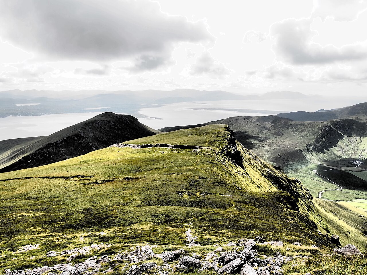
Caherconree (Irish: Cathair Conraoi, meaning ''Cú Roí’s stone fort') at 835 metres (2,740 ft), is the 20th–highest peak in Ireland on the Arderin scale, and the 27th–highest peak on the Vandeleur-Lynam scale. Caherconree is the 2nd-highest mountain in the Slieve Mish Mountains in the Dingle Peninsula in County Kerry, Ireland, and one of its southerly spurs is the site of an ancient stone promontory fort, which is a protected National Monument.
Text adapted from “Caherconree” on Wikipedia, CC BY-SA 4.0.
Caherconree ranks #3,556 of 9,079 worldwide in the atlas's castle fame ranking, and #50 of the 178 mapped in Ireland. 1 more atlas landmarks stand within 25 km. The nearest day-trip guide is Limerick, 99 km away. See how Ireland compares in the castle statistics.
View on the interactive castle map →