Castle
Beverweerd Castle
 Netherlands · 13th century
- Founded
- c. 1250
- Heritage status
- Rijksmonument complex
- Location
- Bunnik
- Coordinates
- 52.03194°, 5.24972°
- Open data
- Wikidata Q2084244
- Links
- Wikimedia Commons
Description
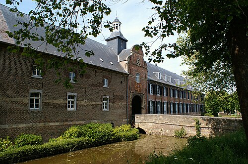
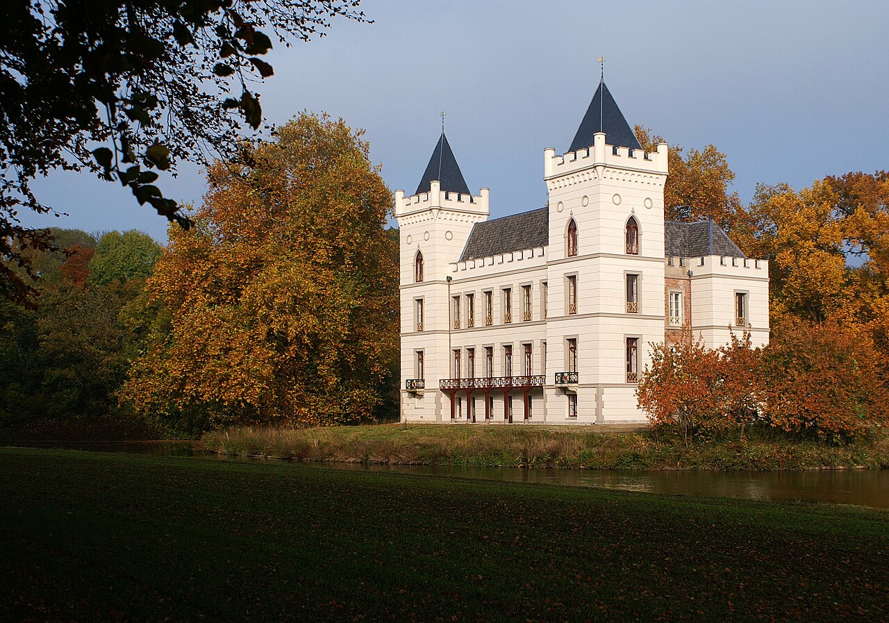
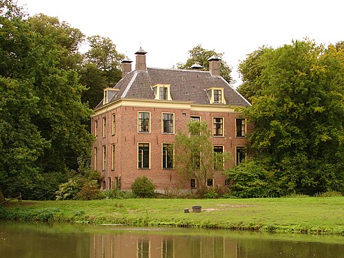
Beverweerd Castle is a 13th-century castle and former knight's court town, which is located on an island along the Kromme Rijn near the village of Werkhoven in the Dutch province of Utrecht. The castle is surrounded by landscaped gardens, in which the Kromme Rijn itself plays an important role in the landscape. The castle was empty for a long time and was not open to the public. Since 2006, painter and art forger Geert Jan Jansen has lived and worked at Beverweerd Castle. The surrounding gardens are ideal for walking, which offers a good view of the castle and the Kromme Rijn.
Text adapted from “Beverweerd Castle” on Wikipedia, CC BY-SA 4.0.
In the rankings
Beverweerd Castle ranks #7,048 of 9,902 worldwide in the atlas's castle fame ranking, and #91 of the 213 mapped in Netherlands. Founded c. 1250, it is older than 67% of the atlas's dated landmarks, one of 1134 atlas entries founded in the 13th century. 27 more atlas landmarks stand within 25 km. The nearest day-trip guide is Utrecht, 11 km away. See how Netherlands compares in the castle statistics.
Castles nearby
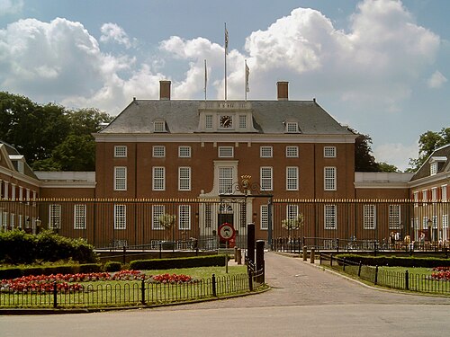
- Slot Zeist5 km · Netherlands
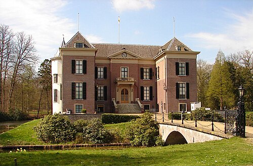
- Huis Doorn6 km · Netherlands
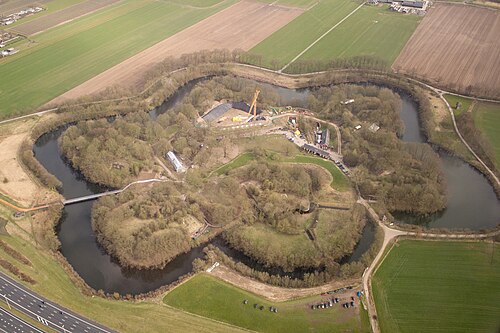
- Vechten Fort6 km · Netherlands
- Rhijnauwen6 km · Netherlands
More castles in the Netherlands
- Wijnandsrade CastleNetherlands · 11th century
- Den Halder CastleNetherlands
- Castle OostNetherlands · 11th century
- Castle NijenrodeNetherlands