 Netherlands · 19th century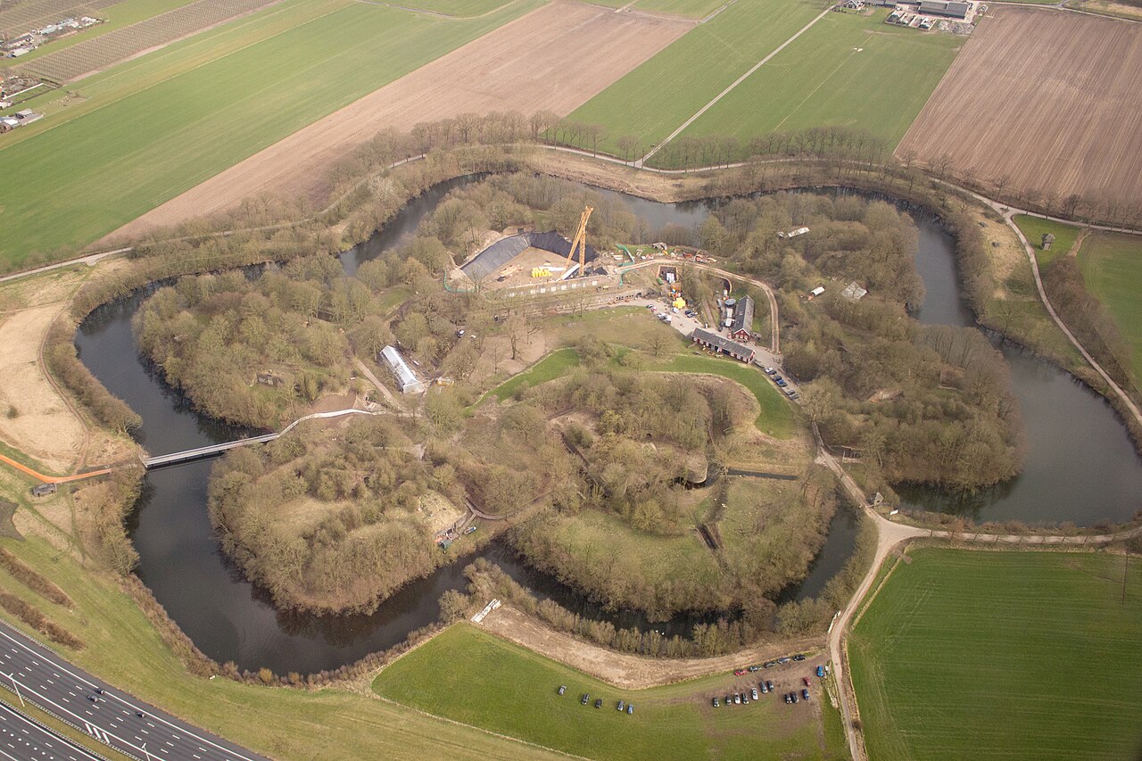
Fort bij Vechten near Bunnik is a Dutch fort, built from 1867 to 1870. It covers 17 hectares within the moat and 23 ha within the boundary posts. 16 million bricks were used in the 22 buildings of the fort. It forms part of the New Dutch Waterline (NHW) and has been owned by Staatsbosbeheer since 1996. From 1950 to 1996 the fort was used by the Ministry of Defence (150th depot) for the storage of non-ferrous and ferrous metals and rubber inner and outer tyres. Since 10 October 2015 the Waterliniemuseum Fort bij Vechten has been housed here.
Machine-translated from “Fort bij Vechten” on the Dutch Wikipedia, CC BY-SA 4.0.
Vechten Fort ranks #8,105 of 9,079 worldwide in the atlas's castle fame ranking, and #152 of the 199 mapped in Netherlands. Founded 1867, it is older than 6% of the atlas's dated landmarks — one of 717 atlas entries founded in the 19th century. 25 more atlas landmarks stand within 25 km. The nearest day-trip guide is Utrecht, 5 km away. See how Netherlands compares in the castle statistics.
View on the interactive castle map →