 Germany · 10th century
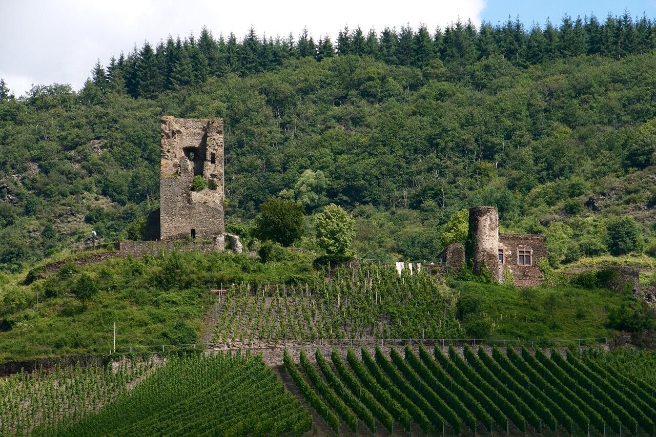
Burg Coraidelstein ranks #6,728 of 9,040 worldwide in the atlas's castle fame ranking, and #598 of the 714 mapped in Germany. Founded 960, it is older than 92% of the atlas's dated landmarks, one of 192 atlas entries founded in the 10th century. 16 more atlas landmarks stand within 25 km. The nearest day-trip guide is Koblenz, 35 km away. It is one of the 51 landmarks on the atlas's regional map of the Moselle. It is stop 11 of 36 on the Moselle castle route, Trier to Koblenz. See how Germany compares in the castle statistics.
Burg Coraidelstein, also called Burg Klotten, is the ruin of a hillside castle at 177 m above sea level on a hilltop by the Moselle above the municipality of Klotten in the Cochem-Zell district in Rhineland-Palatinate.
Machine-translated from “Burg Coraidelstein” on the German Wikipedia, CC BY-SA 4.0.
View on the interactive castle map →