Castle
Burg Lauenstein
🇩🇪 Germany
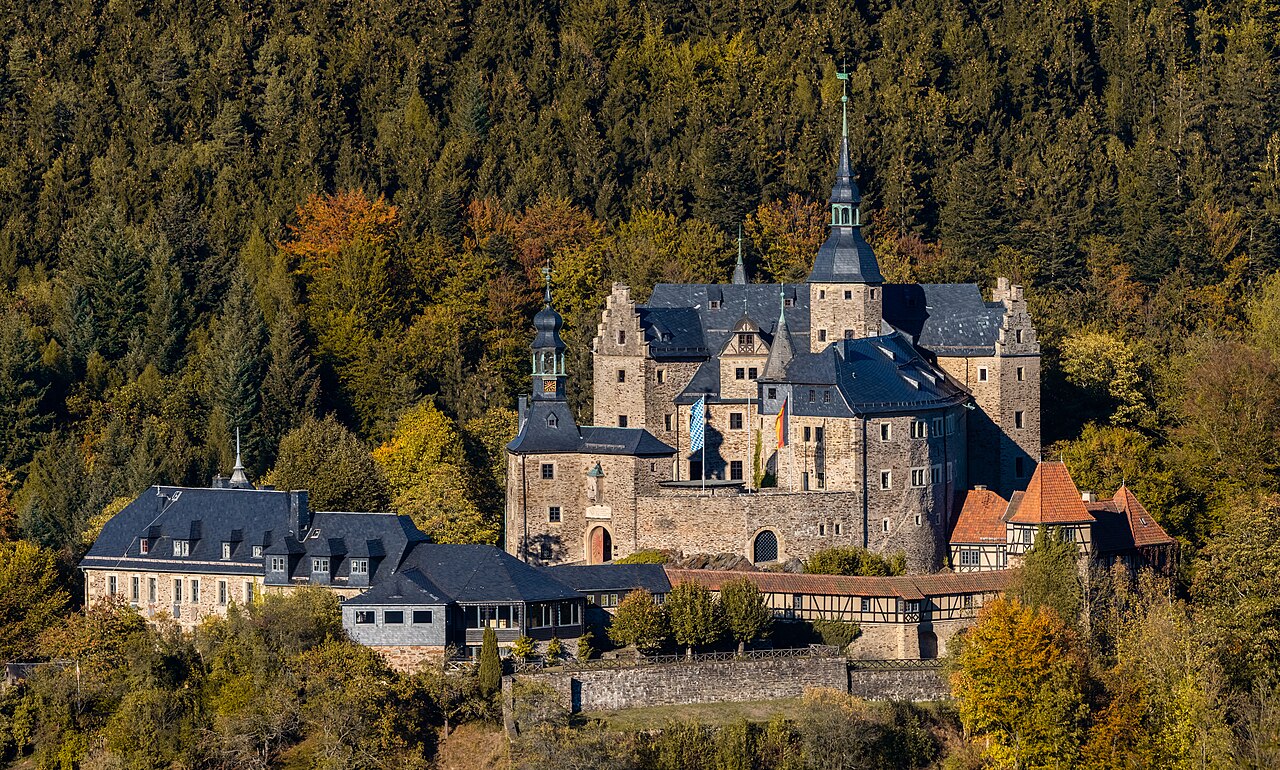
Burg Lauenstein is a medieval hilltop castle at 550 m above sea level above the Upper Franconian village of Lauenstein, a part of the town of Ludwigsstadt lying to the southeast of it. With its location in the north of the district of Kronach, the castle, whose oldest parts can be dated to the 12th century, is the northernmost castle in Bavaria.
Machine-translated from “Burg Lauenstein (Frankenwald)” on the German Wikipedia, CC BY-SA 4.0.
Burg Lauenstein ranks #5,015 of 8,134 worldwide in the atlas's castle fame ranking, and #379 of the 505 mapped in Germany. Its Wikipedia articles were opened 1,227 times in the last 60 days, more than 54% of the atlas. 2 more atlas landmarks stand within 25 km. It is one of the 22 landmarks on the atlas's regional map of Thuringia. See how Germany compares in the castle statistics.
View on the interactive castle map →Frequently asked questions
Where is Burg Lauenstein?
Burg Lauenstein stands in Germany, at 50.51329°, 11.37°.
How famous is Burg Lauenstein?
In this atlas's fame ranking: #5,015 of 8,134 worldwide, and #379 in Germany. Fame here combines how many Wikipedia language editions cover a landmark with how many people read them.
What is the nearest castle to Burg Lauenstein?
Ranis, about 22 km away.
More castles in Germany
- Lauterstein Castle (Marienberg) Germany · 14th century
- Wachsenburg Castle Germany · 10th century
- Haus Bodelschwingh Germany
- Virneburg Castle Germany · 11th century
More castles
- Castle Oliver Ireland
- Barryscourt Castle Ireland
- Castillo de Mombeltrán Spain · 15th century
- Castle of Monasterio de Rodilla Spain · 11th century