 Germany · 12th century
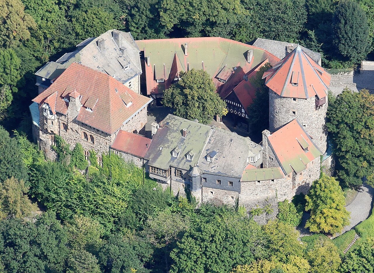
Burg Lichtenfels ranks #6,091 of 9,040 worldwide in the atlas's castle fame ranking, and #538 of the 714 mapped in Germany. Founded 1189, it is older than 78% of the atlas's dated landmarks, one of 763 atlas entries founded in the 12th century. 3 more atlas landmarks stand within 25 km. See how Germany compares in the castle statistics.
Burg Lichtenfels is a castle in the municipality of Lichtenfels, named after it, in the district of Waldeck-Frankenberg in Hesse (Germany). It lies on a mountain spur above the village of Dalwigksthal and from above announces the entry of the Eder tributary Orke into the Örksche Schweiz (Waldeck Switzerland).
Machine-translated from “Burg Lichtenfels (Lichtenfels)” on the German Wikipedia, CC BY-SA 4.0.
View on the interactive castle map →