 Germany · 13th century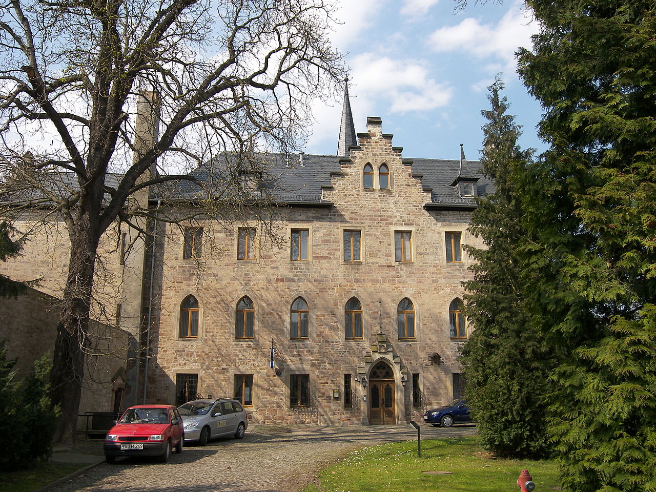
Weißenburg Castle is a hilltop castle in the district of Weißen in the municipality of Uhlstädt-Kirchhasel east of Rudolstadt in Thuringia, on a rock face rising steeply above the Saale.
Machine-translated from “Burg Weißenburg (Thüringen)” on the German Wikipedia, CC BY-SA 4.0.
Burg Weißenburg ranks #8,093 of 9,079 worldwide in the atlas's castle fame ranking, and #706 of the 711 mapped in Germany. Founded 1248, it is older than 71% of the atlas's dated landmarks — one of 1080 atlas entries founded in the 13th century. 7 more atlas landmarks stand within 25 km. It is one of the 38 landmarks on the atlas's regional map of Thuringia. See how Germany compares in the castle statistics.
View on the interactive castle map →