Castle
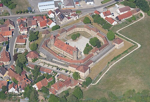
Burg Wernfels
 Germany · 13th century
- Founded
- 1230
- Heritage status
- architectural heritage monument in Bavaria
- Location
- Spalt
- Coordinates
- 49.1981°, 10.8788°
- Open data
- Wikidata Q1014551
- Links
- Wikimedia Commons
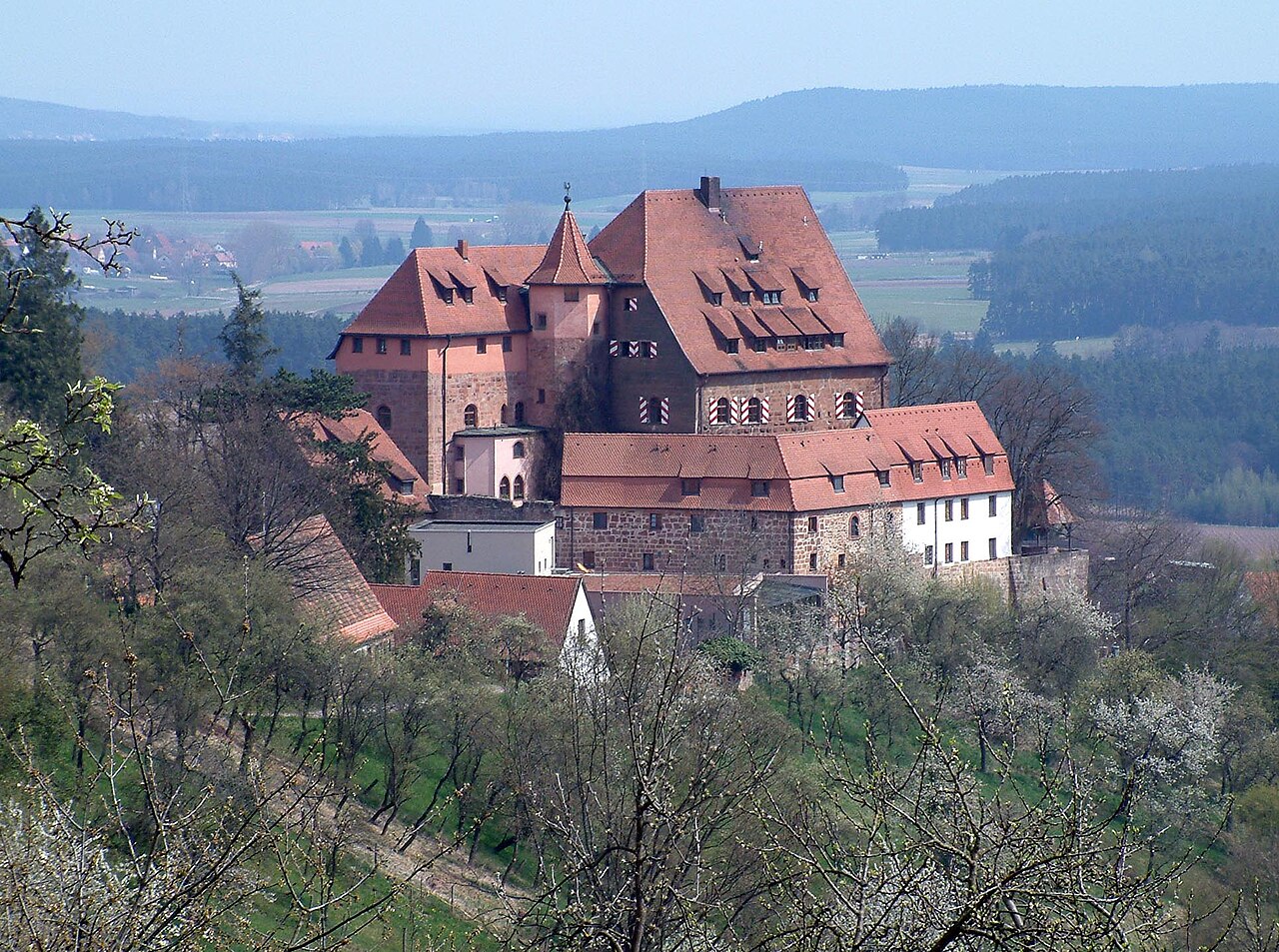
Description
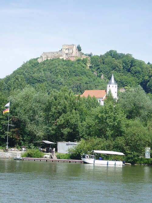
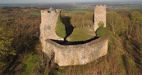
Wernfels Castle is a hilltop castle above the district of Wernfels, part of Spalt, in the Middle Franconian district of Roth.
It is entered in the Bavarian list of monuments as a ground monument under file number D-5-6831-0034 and as a building monument under file number D-5-76-147-295.
Machine-translated from “Burg Wernfels” on the German Wikipedia, CC BY-SA 4.0.
In the rankings
Burg Wernfels ranks #8,660 of 9,902 worldwide in the atlas's castle fame ranking, and #902 of the 927 mapped in Germany. Founded 1230, it is older than 73% of the atlas's dated landmarks, one of 1134 atlas entries founded in the 13th century. 6 more atlas landmarks stand within 25 km. See how Germany compares in the castle statistics.
Castles nearby
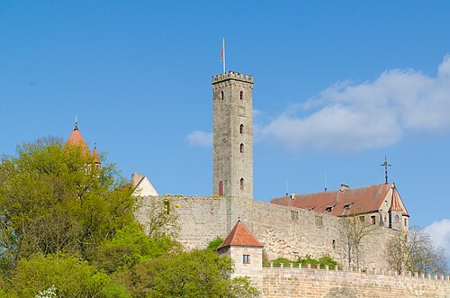
- Abenberg Castle8 km · Germany
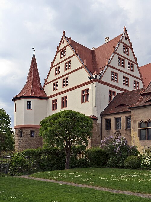
- Schloss Ratibor16 km · Germany
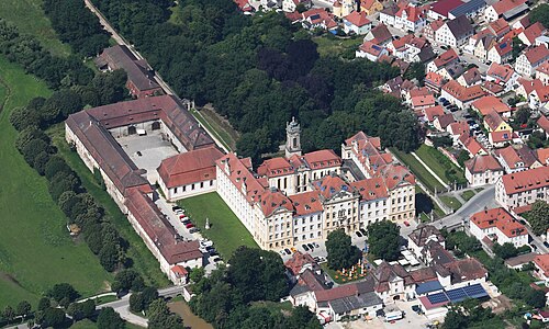
- Ellingen Residence17 km · Germany
- Lichtenau Fortress17 km · Germany
More castles in Germany
- Burg WertheimGermany
- Schloss BurgauGermany
- Donaustauf CastleGermany
- Ebersburg CastleGermany · 11th century