 Germany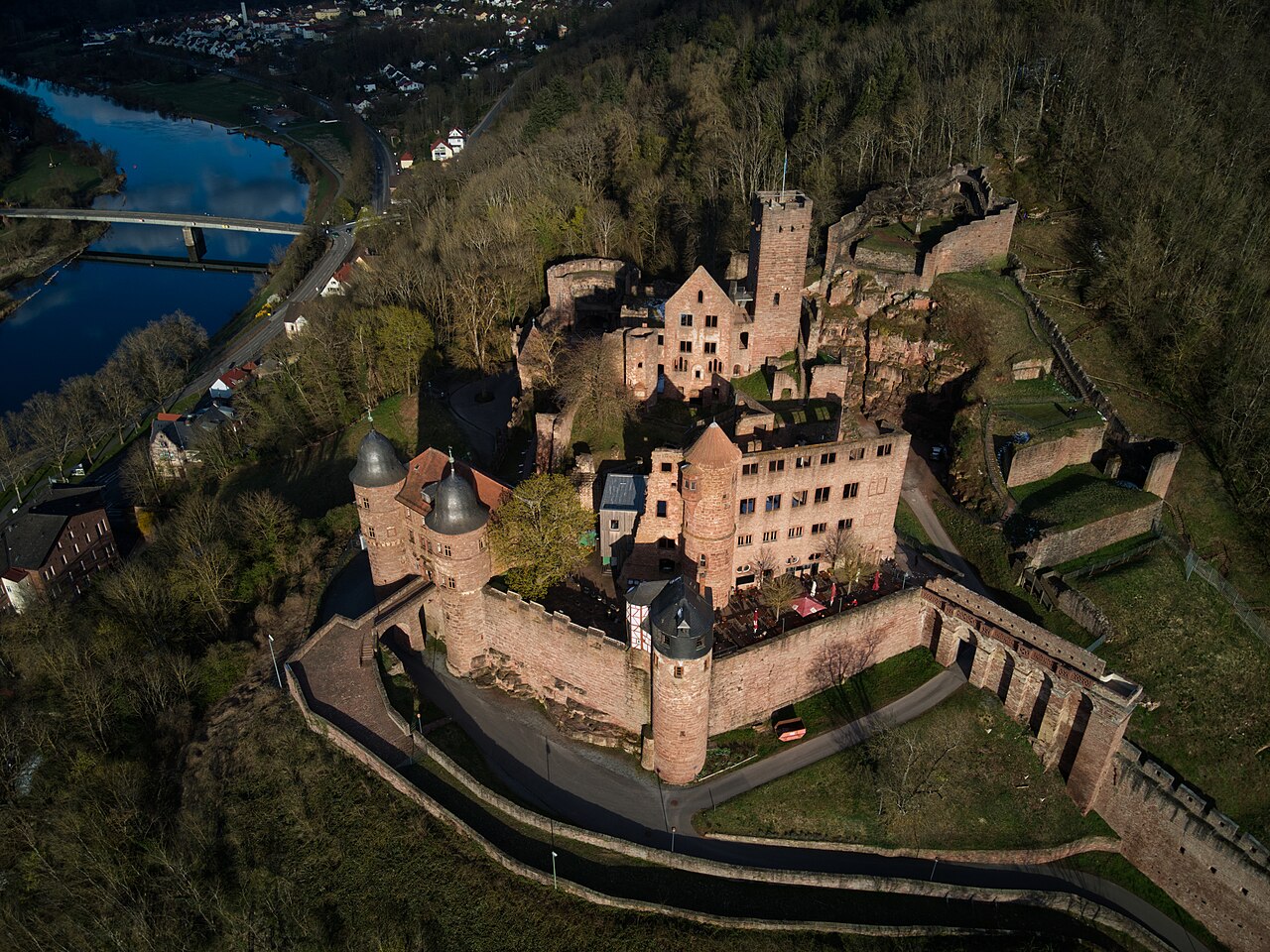
Wertheim Castle is the ruin of a hilltop castle on a high, narrow ridge between the two valleys of the Main and the Tauber, above the town of Wertheim. It is one of the oldest castle ruins in Baden-Württemberg.
Machine-translated from “Burg Wertheim” on the German Wikipedia, CC BY-SA 4.0.
Burg Wertheim ranks #5,991 of 9,079 worldwide in the atlas's castle fame ranking, and #527 of the 711 mapped in Germany. Its Wikipedia articles were opened 1,516 times in the last 60 days, more than 62% of the atlas. 2 more atlas landmarks stand within 25 km. The nearest day-trip guide is Heidelberg, 70 km away. See how Germany compares in the castle statistics.
View on the interactive castle map →