 Germany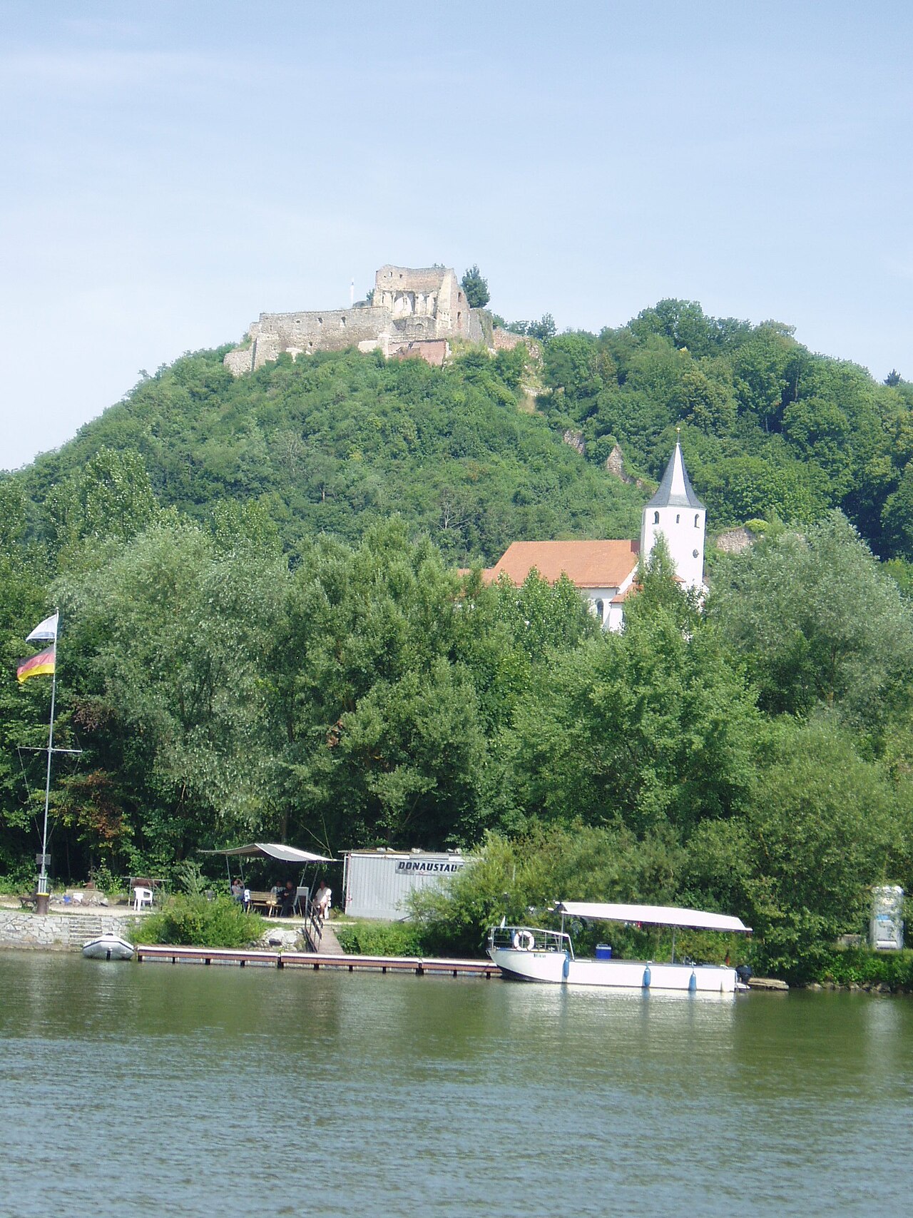
Donaustauf Castle (German: Burgruine Donaustauf) is a ruined hill castle located at a height of 424 m above sea level (NN) on a hill spur overlooking the River Danube by the market village of Donaustauf in the Upper Palatine county of Regensburg in the south German state of Bavaria. Donaustauf grew up during the Middle Ages under the protection of the mighty fortifications of the castle.
Since 6 April 1986 the castle ruins have belonged to Donaustauf and, from 1997, the municipality had the castle made safe and renovated it.
Text adapted from “Donaustauf Castle” on Wikipedia, CC BY-SA 4.0.
Donaustauf Castle ranks #6,412 of 9,079 worldwide in the atlas's castle fame ranking, and #567 of the 711 mapped in Germany. Its Wikipedia articles were opened 1,137 times in the last 60 days, more than 54% of the atlas. 2 more atlas landmarks stand within 25 km. See how Germany compares in the castle statistics.
View on the interactive castle map →