Castle Map

Ruin

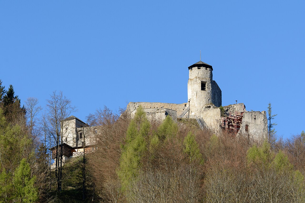
Burgruine Araburg

Austria

Burgruine Araburg in Austria
Photo: Uoaei1 · CC BY-SA 4.0 · Wikimedia Commons

Burgruine Araburg is a castle in Lower Austria, Austria. Burgruine Araburg is 776 metres (2,546 ft) above sea level, making it the highest castle ruin in Lower Austria.

Text adapted from “Burgruine Araburg” on Wikipedia, CC BY-SA 4.0.

Burgruine Araburg ranks #4,724 of 9,035 worldwide in the atlas's castle fame ranking, and #126 of the 239 mapped in Austria. 6 more atlas landmarks stand within 25 km. The nearest day-trip guide is St. Pölten, 28 km away. See how Austria compares in the castle statistics.

View on the interactive castle map →

Read the full history on Wikipedia ↗

Frequently asked questions

Where is Burgruine Araburg?

Burgruine Araburg stands in Austria, at 48.01082°, 15.86738°.

How famous is Burgruine Araburg?

In this atlas's fame ranking: #4,724 of 9,035 worldwide, and #126 in Austria. Fame here combines how many Wikipedia language editions cover a landmark with how many people read them.

What is the nearest castle to Burgruine Araburg?

Arnstein ruins, about 15 km away.

More castles in Austria

More ruins