Fortress
Buxa Fort
🇮🇳 India · 19th century
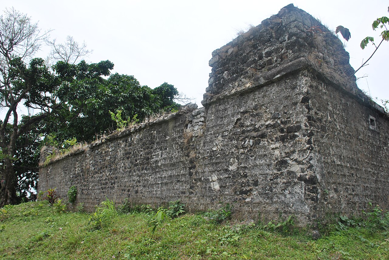
Buxa Fort is located at an altitude of 867 metres (2,844 ft) in the Buxa Tiger Reserve, in the Kalchini CD block in the Alipurduar subdivision of the Alipurduar district in West Bengal, India. It is 30 kilometres (19 mi) from Alipurduar, the nearest town. The King of Bhutan used the fort to protect territory connecting Tibet with India, via Bhutan. During the unrest in the annexation of Tibet by the People's Republic of China, hundreds of displaced persons used the abandoned fort as a place of refuge.
Text adapted from “Buxa Fort” on Wikipedia, CC BY-SA 4.0.
Buxa Fort ranks #3,860 of 8,134 worldwide in the atlas's castle fame ranking, and #141 of the 179 mapped in India. Founded 1873, it is older than 6% of the atlas's dated landmarks — one of 607 atlas entries founded in the 19th century. Its Wikipedia articles were opened 1,314 times in the last 60 days, more than 56% of the atlas. The nearest day-trip guide is Thimphu, 80 km away. See how India compares in the castle statistics.
View on the interactive castle map →Frequently asked questions
Where is Buxa Fort?
Buxa Fort stands in India, at 26.755°, 89.5803°.
When was Buxa Fort built?
The atlas dates its founding to 1873. Earlier structures may have stood on the site; this is the earliest documented founding year.
How famous is Buxa Fort?
In this atlas's fame ranking: #3,860 of 8,134 worldwide, and #141 in India. Fame here combines how many Wikipedia language editions cover a landmark with how many people read them.
What is the nearest castle to Buxa Fort?
Cooch Behar Palace, about 50 km away.
More castles in India
- Fort Tiracol India
- Fortaleza da São Tomé India · 16th century
- Asheri Fort India
- Ghodbunder Fort India · 16th century
More fortresses
- Fort Delgrès France · 17th century
- Fort Teremba France · 19th century
- Fort Stanton United States · 19th century
- Fortaleza de São João Brazil · 16th century