 United States · 18th century
Los Adaes ranks #3,356 of 9,040 worldwide in the atlas's castle fame ranking, and #66 of the 110 mapped in United States. Founded 1721, it is older than 19% of the atlas's dated landmarks, one of 685 atlas entries founded in the 18th century. Its Wikipedia articles were opened 1,882 times in the last 60 days, more than 68% of the atlas. 1 more atlas landmarks stand within 25 km. See how United States compares in the castle statistics.
Los Adaes, was the capital of Tejas (Texas) on the northeastern frontier of New Spain from 1721 to 1773. It included a Franciscan mission, San Miguel de Cuéllar de los Adaes, and a presidio, Nuestra Señora del Pilar de los Adaes (Our Lady of the Pillar of the Adaes). The name Adaes derives from the indigenous Adai people, members of the Caddoan confederacy of Indians who were the people the missionaries aimed to convert to Christianity. The presidio and mission were established to counter French influence in Louisiana territory and defend New Spain (Mexico, including Texas) from possible invasion or encroachment by the French. In 1763 Louisiana came under the control of Spain and the Los Adaes outpost was no longer necessary for defense. In 1773 the Spanish closed the mission and presidio and forced the population to move to San Antonio.
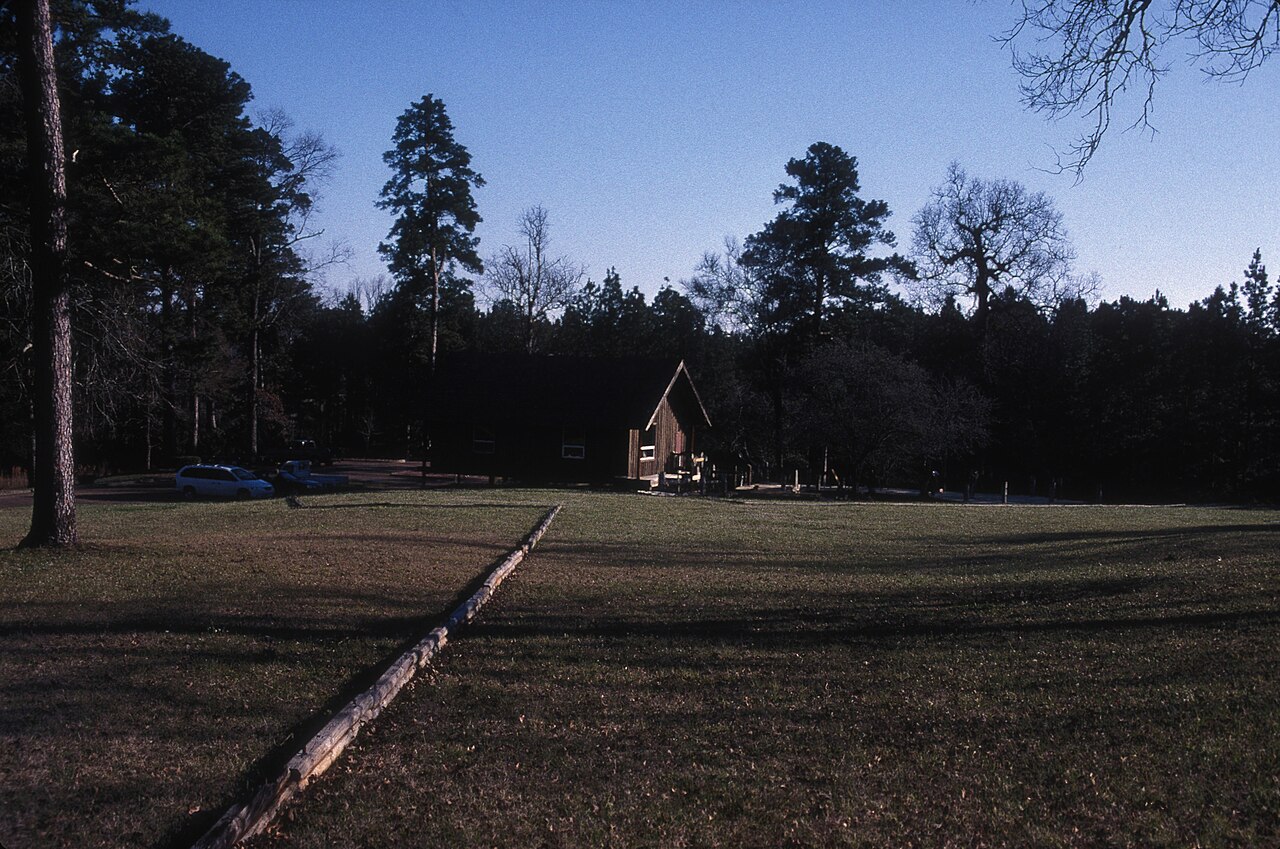
The site, now preserved in the state-run Los Adaes State Historic Site, is located on Louisiana Highway 485 in present-day Natchitoches Parish, Louisiana near the village of Robeline. It was designated a National Historic Landmark in 1986.
Text adapted from “Los Adaes” on Wikipedia, CC BY-SA 4.0.
View on the interactive castle map →