 Scotland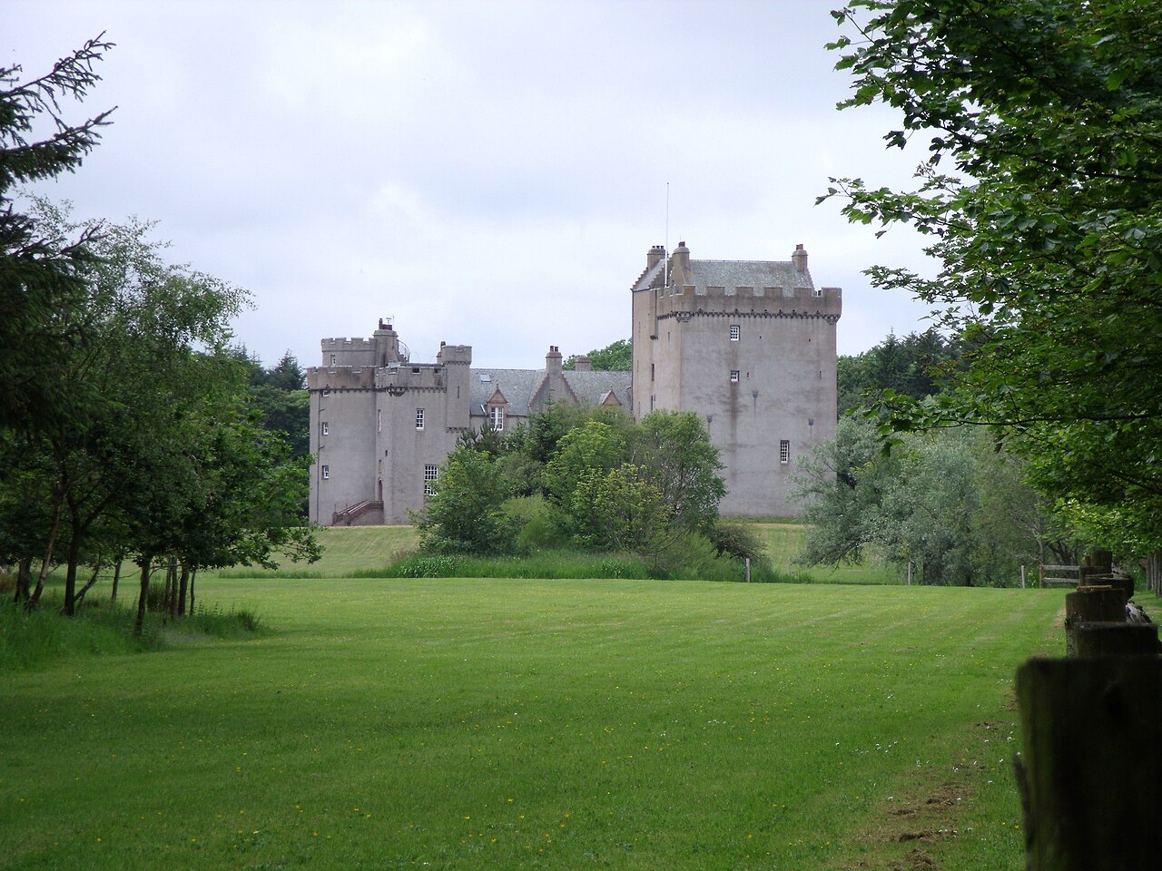
Cairnbulg Castle is a z-plan castle situated in Cairnbulg, Aberdeenshire, Scotland. It was described by W. Douglas Simpson as one of the nine castles of the Knuckle, referring to the rocky headland of north-east Aberdeenshire. It stands by the River Philorth and was originally known as Philorth Castle (or Philorth House). The 17th-century Philorth Castle, an L-plan house consisting of a sizeable crow-stepped block, was demolished after a fire in 1915.
Text adapted from “Cairnbulg Castle” on Wikipedia, CC BY-SA 4.0.
Cairnbulg Castle ranks #6,036 of 9,079 worldwide in the atlas's castle fame ranking, and #198 of the 226 mapped in Scotland. Its Wikipedia articles were opened 1,099 times in the last 60 days, more than 53% of the atlas. 1 more atlas landmarks stand within 25 km. The nearest day-trip guide is Aberdeen, 58 km away. See how Scotland compares in the castle statistics.
View on the interactive castle map →