 Scotland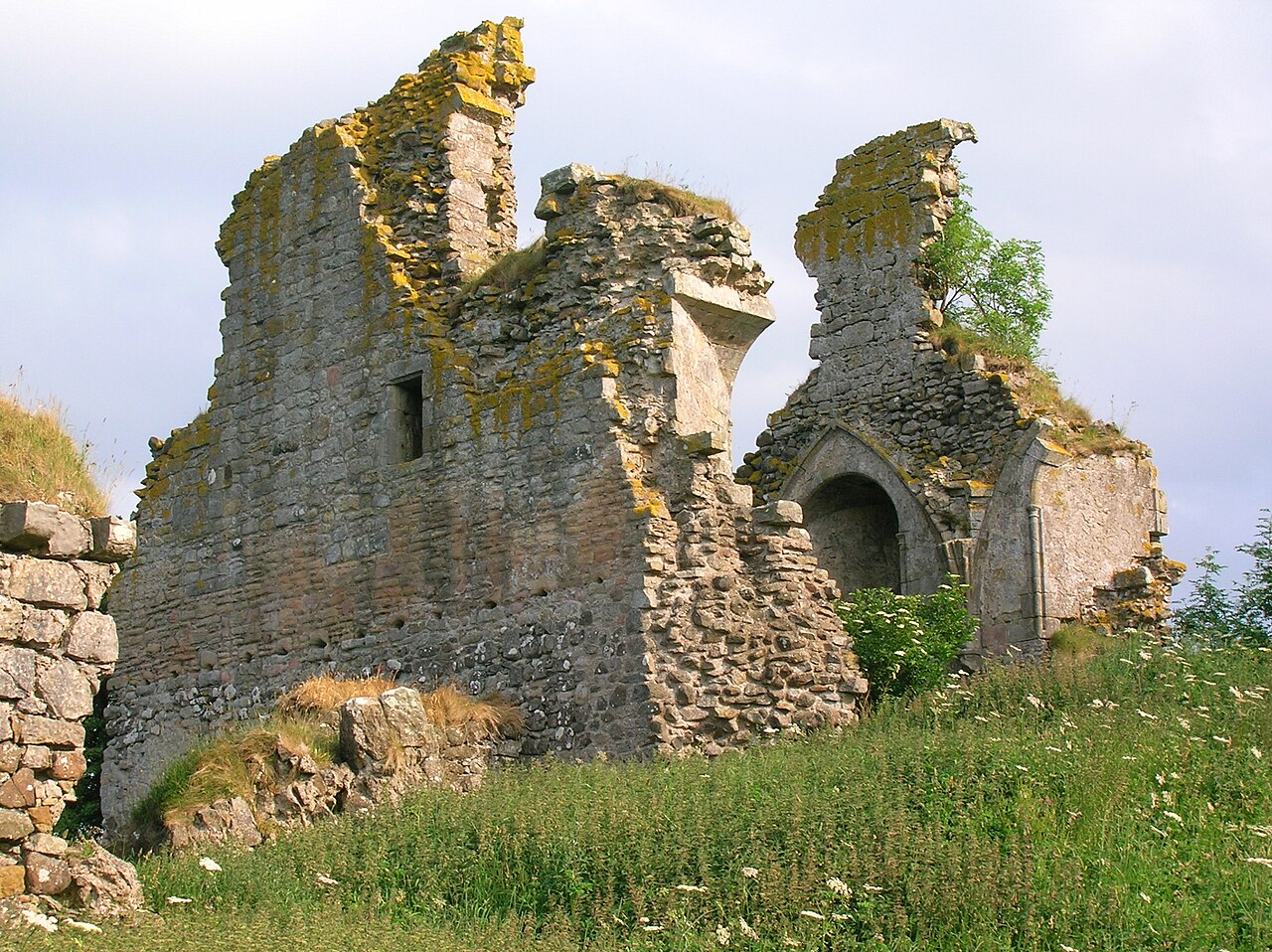
Craigie Castle, in the old Barony of Craigie, is a ruined fortification situated about 4 miles (6.4 km) southeast of Kilmarnock and 1 mile (1.6 km) southeast of Craigie village, in the Civil Parish of Craigie, South Ayrshire, Scotland. The castle is recognised as one of the earliest buildings in the county. It lies about 1.25 miles (2 km) west-south-west of Craigie church. Craigie Castle is protected as a scheduled monument.
Text adapted from “Craigie Castle” on Wikipedia, CC BY-SA 4.0.
Craigie Castle ranks #7,210 of 9,079 worldwide in the atlas's castle fame ranking, and #210 of the 226 mapped in Scotland. 8 more atlas landmarks stand within 25 km. The nearest day-trip guide is Glasgow, 38 km away. See how Scotland compares in the castle statistics.
View on the interactive castle map →