 Wales · 14th century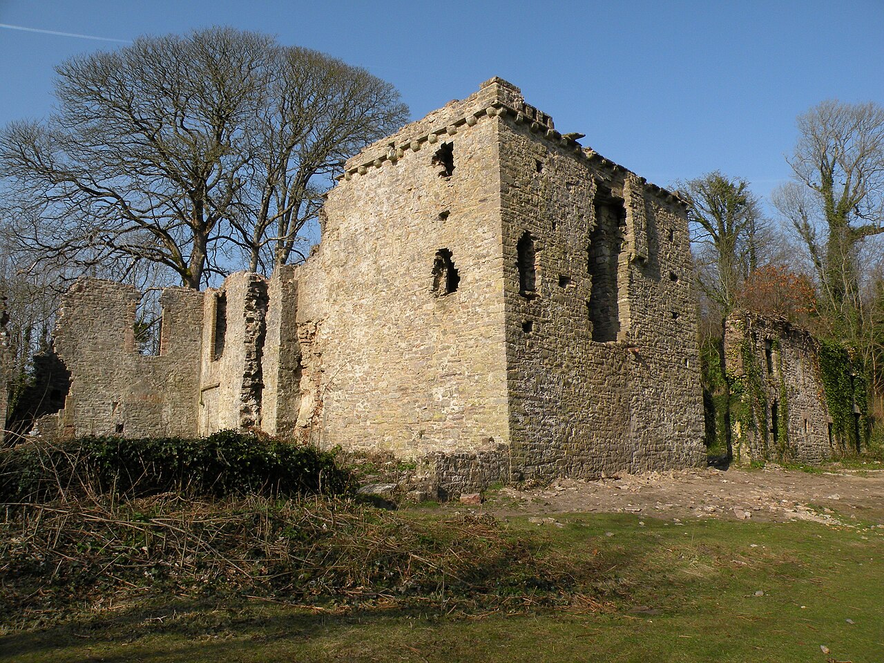
Candleston Castle (historically sometimes Candlestone Castle) is a 14th-century fortified manor house, in ruins since the 19th century. It is 0.75 miles (1.2 km) southwest of Merthyr Mawr, Glamorgan, Wales, now Bridgend County Borough and just 0.75 miles (1.2 km) northwest of Ogmore Castle, separated by the River Ogmore. Candleston's original long and narrow rectangular structure lay across the western end of a low narrow promontory, suggesting a defensive position. The castle is believed to be named after the Norman family of Cantilupe, thought to be its first feudal tenants.
Text adapted from “Candleston Castle” on Wikipedia, CC BY-SA 4.0.
Candleston Castle ranks #4,124 of 9,079 worldwide in the atlas's castle fame ranking, and #73 of the 107 mapped in Wales. Founded c. 1350, it is older than 55% of the atlas's dated landmarks — one of 755 atlas entries founded in the 14th century. 12 more atlas landmarks stand within 25 km. The nearest day-trip guide is Swansea, 27 km away. See how Wales compares in the castle statistics.
View on the interactive castle map →