 England · 12th century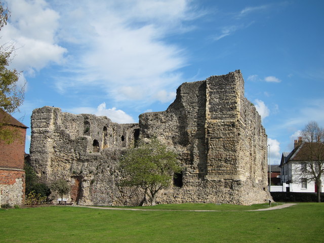
Canterbury Castle is a ruined Norman castle in Canterbury, Kent, England (grid reference TR14545743). It is a five-minute walk from Canterbury East Station and the main bus station around City Wall.
Canterbury Castle was one of the three original Royal castles of Kent (the other two being Rochester Castle and Dover Castle). They were built soon after the Battle of Hastings, on the main Roman road from Dover to London. This was the route taken by William the Conqueror in October 1066; the castles were probably built to guard this important road.
Text adapted from “Canterbury Castle” on Wikipedia, CC BY-SA 4.0.
Canterbury Castle ranks #1,913 of 9,079 worldwide in the atlas's castle fame ranking, and #125 of the 360 mapped in England. Founded 1135, it is older than 83% of the atlas's dated landmarks — one of 756 atlas entries founded in the 12th century. Its Wikipedia articles were opened 1,887 times in the last 60 days, more than 68% of the atlas. 11 more atlas landmarks stand within 25 km. The nearest day-trip guide is Southend-on-Sea, 38 km away. See how England compares in the castle statistics.
View on the interactive castle map →