Ruin
Carrickmines Castle
🇮🇪 Ireland
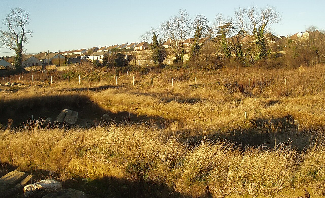
Carrickmines Castle is an archaeological site in Carrickmines, County Dublin, in eastern Ireland. The castle was built in the Middle Ages to protect the English-ruled Pale around Dublin. The mostly subsurface ruins lay in the path of the M50 motorway, completed in 2005. Sections of the medieval walls and some sections of the castle's defensive structures were preserved within or under M50 roundabouts.
Text adapted from “Carrickmines Castle” on Wikipedia, CC BY-SA 4.0.
Carrickmines Castle ranks #5,934 of 8,134 worldwide in the atlas's castle fame ranking, and #123 of the 173 mapped in Ireland. 18 more atlas landmarks stand within 25 km. The nearest day-trip guide is Dublin, 12 km away. See how Ireland compares in the castle statistics.
View on the interactive castle map →Frequently asked questions
Where is Carrickmines Castle?
Carrickmines Castle stands in Ireland, at 53.25329°, -6.1754°.
How famous is Carrickmines Castle?
In this atlas's fame ranking: #5,934 of 8,134 worldwide, and #123 in Ireland. Fame here combines how many Wikipedia language editions cover a landmark with how many people read them.
What is the nearest castle to Carrickmines Castle?
Puck's Castle, about 3 km away.
More castles in Ireland
- Carriganass Castle Ireland · 16th century
- Ballymore Castle Ireland · 16th century
- Carrigaholt Castle Ireland · 15th century
- Kilbolane Castle Ireland · 16th century
More ruins
- Lichtenberg Castle (Salzgitter) Germany · 12th century
- Nanstein Castle Germany · 12th century
- Neuleiningen Castle Germany · 13th century
- Lobdeburg Germany