 Spain · 10th century
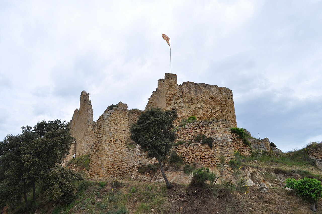
Castell de Palafolls ranks #7,530 of 9,040 worldwide in the atlas's castle fame ranking, and #398 of the 606 mapped in Spain. Founded 968, it is older than 92% of the atlas's dated landmarks, one of 192 atlas entries founded in the 10th century. 6 more atlas landmarks stand within 25 km. The nearest day-trip guide is Girona, 35 km away. See how Spain compares in the castle statistics.
Castell de Palafolls is a medieval military building situated on top of the "Castle hill" in the municipality of Palafolls and near the coast. The fortress stands on the crest of an elongated, low mountain running from north-west to south-east and almost parallel to the river Tordera. Now much ruined, it was built dominating the view of the lower course and the fertile plain of the Tordera, at a strategic place from which to control the royal road from Girona to Barcelona along the coast. It became the centre of the important barony of Palafolls in the county of Girona, whose jurisdiction extended over the present-day municipalities of Malgrat de Mar, Palafolls, Santa Susanna and part of Blanes.
The name derives from Palatiolo and there are indications that the site was fortified much earlier. The waters of the Tordera, exploited by irrigation channels and valleys, served to water the land and to power the grain, paper and textile mills established under emphyteusis, a monopoly of the barony. The barony had its own notary, mayor, assays and ordinary judge, and the ironworks (the present-day centre of Les Ferreries). Maritime commercial activity was important in the 15th century through the loading point on the beach of Vilanova.
Machine-translated from “Castillo de Palafolls” on the Spanish Wikipedia, CC BY-SA 4.0.
View on the interactive castle map →