 Spain · 12th century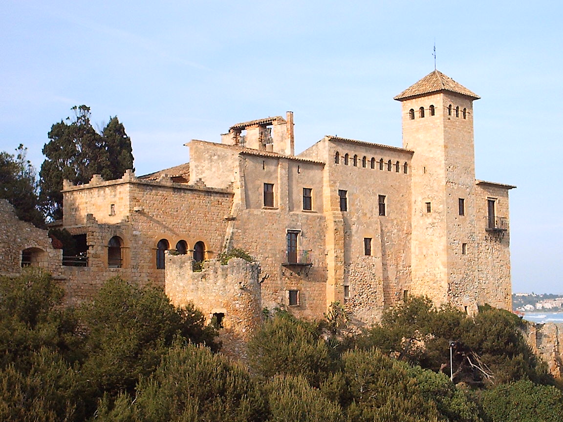
Castell de Tamarit, in the Romanesque style, is situated on a promontory on the shore of the Mediterranean Sea in the municipal district of Tarragona (Spain). It is a private space where events are organised; guided visits are not offered and it is not open to the public. It is surrounded by the old medieval nucleus of Tamarit, which formed a small hamlet around the castle, of which very little remains. The wall was opened by four gates, of which two survive, that of La Mora and that of La Cruz. It has been an asset of cultural interest since 1988.
Machine-translated from “Castillo de Tamarit” on the Spanish Wikipedia, CC BY-SA 4.0.
Castell de Tamarit ranks #5,424 of 9,079 worldwide in the atlas's castle fame ranking, and #236 of the 607 mapped in Spain. Founded c. 1200, it is older than 75% of the atlas's dated landmarks — one of 756 atlas entries founded in the 12th century. Its Wikipedia articles were opened 1,663 times in the last 60 days, more than 64% of the atlas. 1 more atlas landmarks stand within 25 km. The nearest day-trip guide is Barcelona, 74 km away. See how Spain compares in the castle statistics.
View on the interactive castle map →