Castle
Castello Aragonese
 Italy · 15th century
- Founded
- 1495
- Heritage status
- Italian national heritage
- Location
- Bacoli
- Coordinates
- 40.80862°, 14.08019°
- Open data
- Wikidata Q3662303
- Links
- Wikimedia Commons
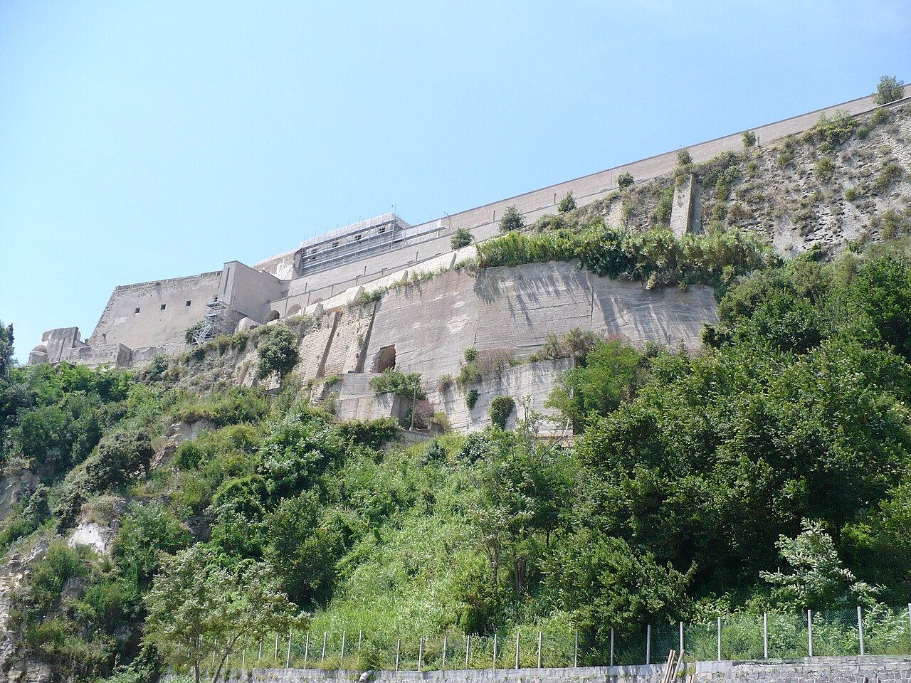
Description
The Castello Aragonese di Baia is a Renaissance fortress of the late 15th century in the Baia district of the municipality of Bacoli in the Italian region of Campania. The fortress was built at a height of 51 metres on a cape in the Phlegraean Fields, protected to the east by a tuff cliff above the Gulf of Pozzuoli and to the west by a deep depression. The latter is the remnant of a crater called "Fondi di Baia", which formed after the Neapolitan Yellow Tuff eruption. With its walls, moats and drawbridges the complex was practically impregnable. Its position, from which it dominated the whole Gulf of Pozzuoli as far as Procida, Ischia and Cumae, permitted very far-reaching control of the area, by which the approach of enemy fleets could be prevented, fleets that might have landed troops which could have marched on Naples in a surprise action.
Machine-translated from “Castello di Baia” on the German Wikipedia, CC BY-SA 4.0.
In the rankings
Castello Aragonese ranks #5,306 of 9,902 worldwide in the atlas's castle fame ranking, and #384 of the 624 mapped in Italy. Founded 1495, it is older than 44% of the atlas's dated landmarks, one of 596 atlas entries founded in the 15th century. Its Wikipedia articles were opened 1,048 times in the last 60 days, more than 56% of the atlas. 24 more atlas landmarks stand within 25 km. The nearest day-trip guide is Naples, 14 km away. See how Italy compares in the castle statistics.
Castles nearby
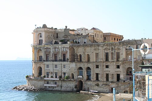
- Villa Donn'Anna11 km · Italy
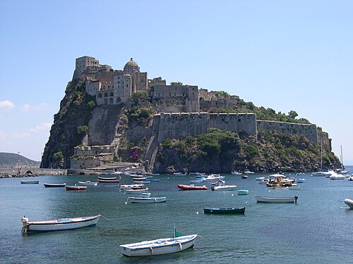
- Aragonese Castle13 km · Italy
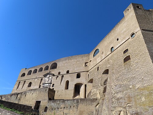
- Castel Sant'Elmo14 km · Italy
- Palazzo Cellammare14 km · Italy
More castles in Italy
- Baglioni CastleItaly · 18th century
- Castello di FelinoItaly · 14th century
- Castello di GallipoliItaly · 11th century
- Castello di GamberaleItaly · 12th century