 Italy · 11th century
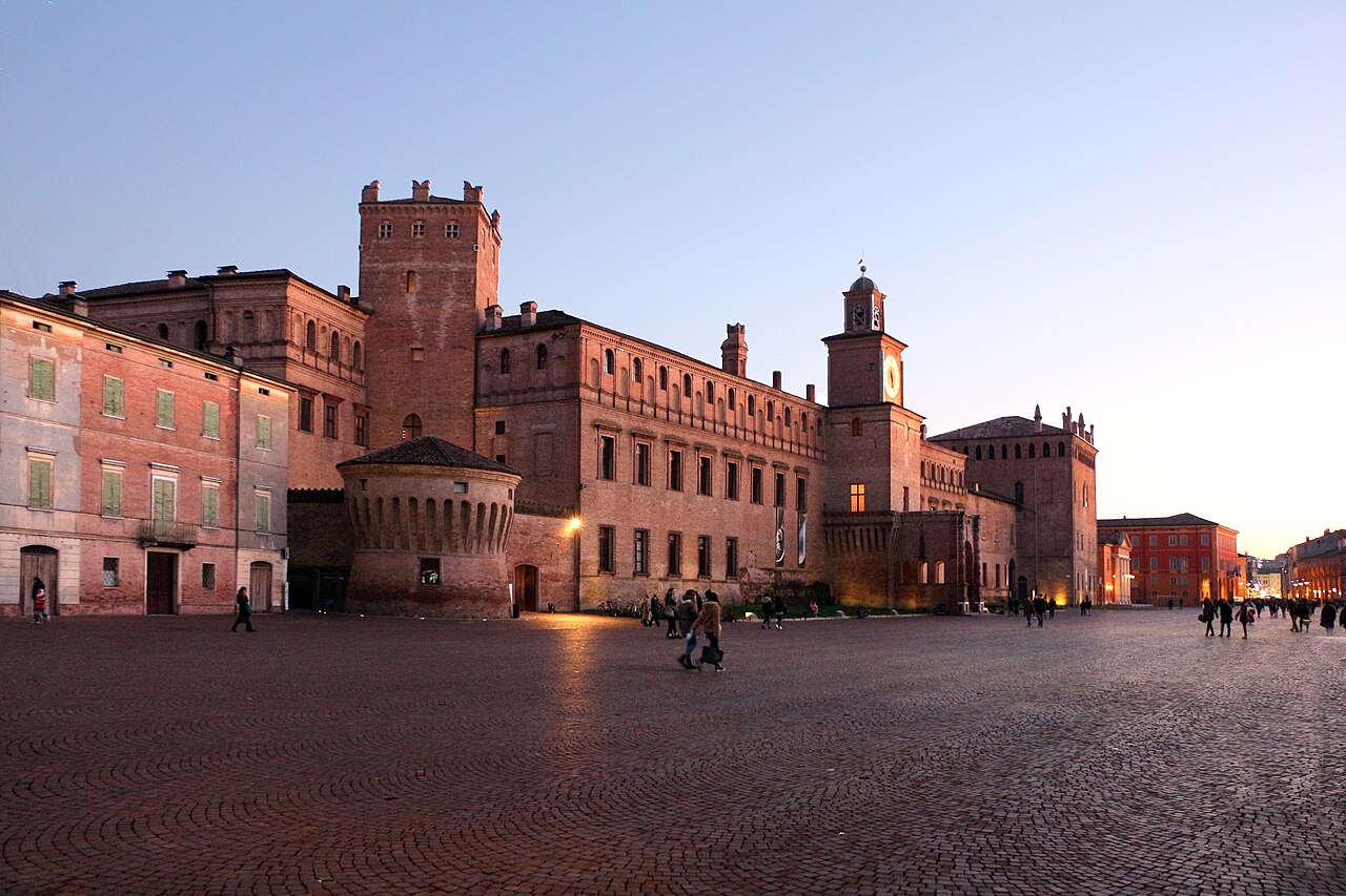
The Castello dei Pio, also Palazzo dei Pio, is a castle complex dating from the 11th to the 17th century in the medieval centre of Carpi in the Italian region of Emilia-Romagna. It lies between the Piazza dei Martiri and the Piazzale Re Astolfo and belonged to the Pio di Carpi family.
Machine-translated from “Castello dei Pio” on the German Wikipedia, CC BY-SA 4.0.
Castello dei Pio ranks #5,112 of 9,035 worldwide in the atlas's castle fame ranking, and #367 of the 555 mapped in Italy. Founded c. 1100, it is older than 85% of the atlas's dated landmarks, one of 439 atlas entries founded in the 11th century. 3 more atlas landmarks stand within 25 km. The nearest day-trip guide is Bologna, 48 km away. See how Italy compares in the castle statistics.
View on the interactive castle map →