Castle
Castillo de El Toro
 Spain · 12th century
- Founded
- c. 1200
- Style
- Medieval architecture
- Heritage status
- bien de interés cultural
- Location
- El Toro
- Elevation
- 1,040 m
- Coordinates
- 39.9832°, -0.75042°
- Open data
- Wikidata Q3604811
- Links
- OpenStreetMap · Wikimedia Commons
Description
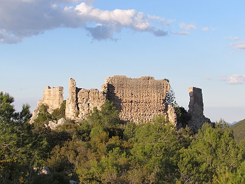
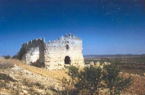
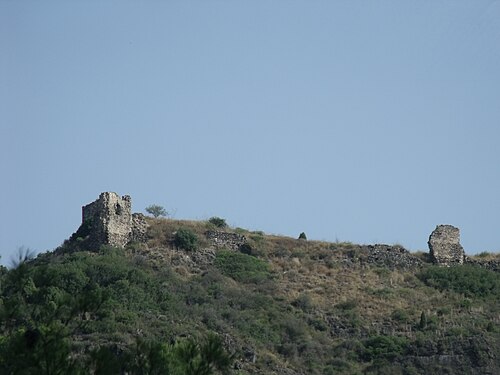
The Castle of El Toro (province of Castellón, Spain) is situated at the top of the town's urban core, at the spot known as "El Cerrito" (1,040 m). Presumably the first walls surrounding the fortress, built of small stones, were erected in defence against the barbarian invasions, and were successively enlarged and rebuilt in the Middle Ages.
Located between two historical regions, from its defensive position it strategically dominated much of the high plateau in a comarca defined as an entry point and passage for troops. It gained importance during the armed conflicts between Peter IV of Aragon and Pedro de Jérica, great-grandson of James I "the Conqueror", around 1336-37.
The castle is classified as the mountain type with an irregular plan and a church within its enclosure.
Inside the fortress can be seen the Main Tower or Keep, from which the standard flew. Today two reinforced ashlar corners reaching about two storeys in height can be seen.
Machine-translated from “Castillo de El Toro” on the Spanish Wikipedia, CC BY-SA 4.0.
In the rankings
Castillo de El Toro ranks #9,373 of 9,902 worldwide in the atlas's castle fame ranking, and #597 of the 646 mapped in Spain. Founded c. 1200, it is older than 75% of the atlas's dated landmarks, one of 810 atlas entries founded in the 12th century. The nearest day-trip guide is Castellón de la Plana, 61 km away. See how Spain compares in the castle statistics.
Castles nearby
- Castillo del Poyo26 km · Spain
- Almonacid Castle27 km · Spain
- Castle of Mora de Rubielos30 km · Spain
- Castle of Villamalur31 km · Spain
More castles in Spain
- Castle of A PeroxaSpain
- Naraío CastleSpain
- Castroverde TowerSpain · 14th century
- Vallada CastleSpain