 Spain
Spain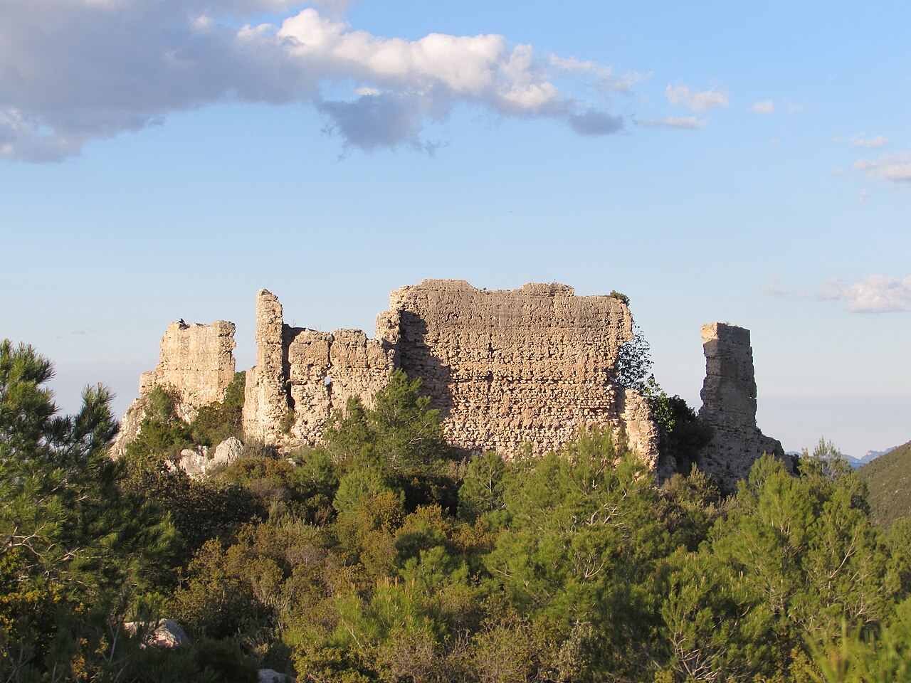
Vallada Castle (province of Valencia), also known as the Castle of Umbría, is a castle of Muslim origin situated at the spot known as La Peña on a hillock at an altitude of 553 metres, from which it overlooks the whole valley of the Cañoles river.
It formed part of the network of castles defending this valley, together with the castles of Xàtiva, Montesa and Moixent. Partially demolished in the 14th century, the castle was damaged again during the earthquake of 1748.
Machine-translated from “Castillo de Vallada” on the Spanish Wikipedia, CC BY-SA 4.0.
Vallada Castle ranks #8,571 of 9,079 worldwide in the atlas's castle fame ranking, and #551 of the 607 mapped in Spain. 6 more atlas landmarks stand within 25 km. The nearest day-trip guide is Alicante, 63 km away. See how Spain compares in the castle statistics.
View on the interactive castle map →