Ruin
Castillo de Peña
🇪🇸 Spain
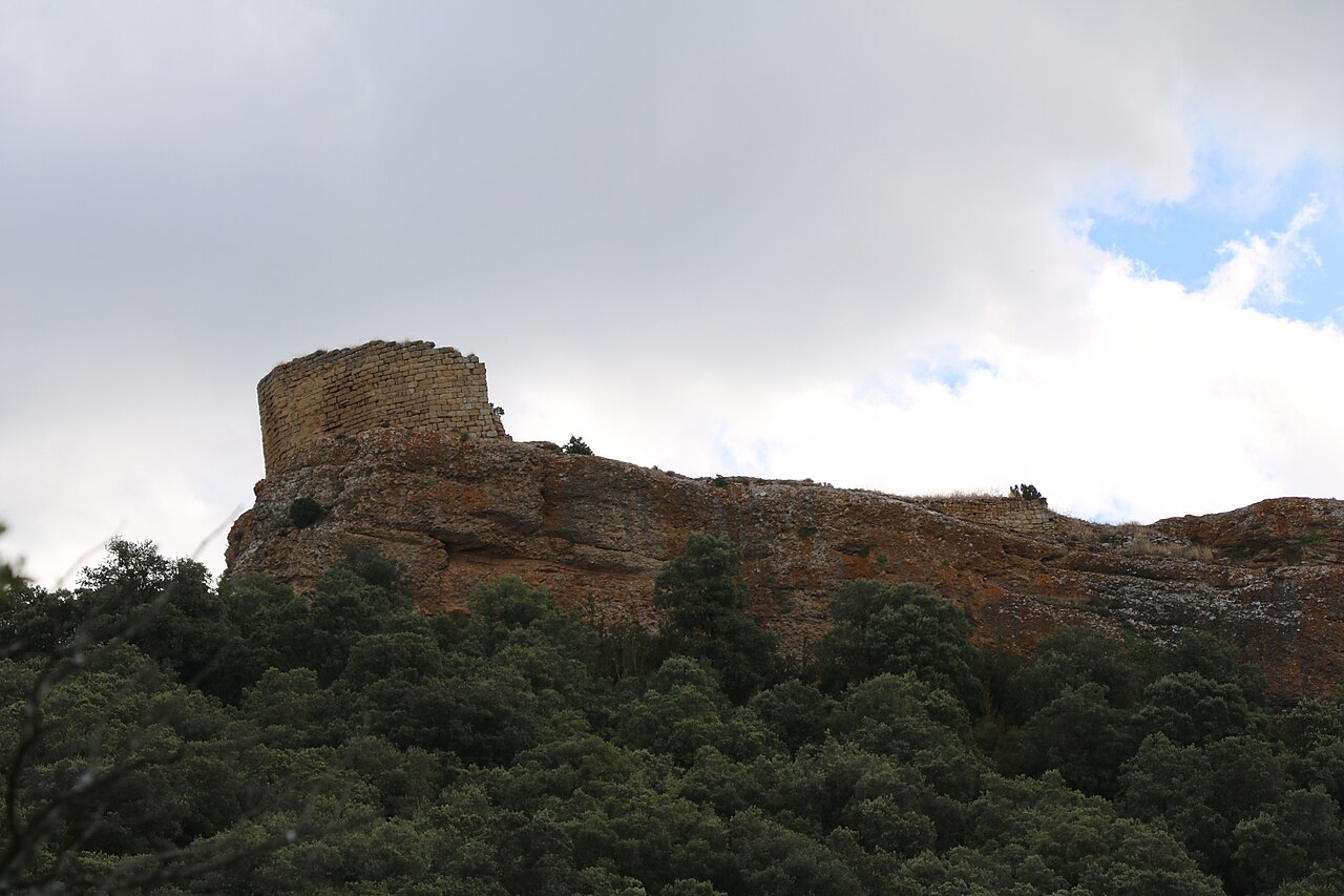
The castle and town of la Peña are the ruins of a medieval castle in Navarre (Spain), located in the deserted village of Peña (Navarre) in the municipality of Javier. High on the Sierra de Peña, 1,062 m in height, it lies at the base of an imaginary triangle formed by Sos del Rey Católico, Cáseda and Sangüesa, on the boundary with Zaragoza.
It is a steep, rocky hill with sharp slopes that held an imposing castle. The whole surface of the town was walled and the castle had two defensive towers.
This deserted village of Peña has been abandoned since the 1950s, leaving the ruins of a few houses and the church, which has been restored, as well as remains of one of the castle's towers.
Machine-translated from “Castillo de Peña” on the Spanish Wikipedia, CC BY-SA 4.0.
Castillo de Peña ranks #6,775 of 8,134 worldwide in the atlas's castle fame ranking, and #395 of the 602 mapped in Spain. 5 more atlas landmarks stand within 25 km. See how Spain compares in the castle statistics.
View on the interactive castle map →Frequently asked questions
Where is Castillo de Peña?
Castillo de Peña stands in Spain, at 42.49426°, -1.29961°.
How famous is Castillo de Peña?
In this atlas's fame ranking: #6,775 of 8,134 worldwide, and #395 in Spain. Fame here combines how many Wikipedia language editions cover a landmark with how many people read them.
What is the nearest castle to Castillo de Peña?
Castle of Xabier, about 13 km away.
More castles in Spain
- Castle of Trasmoz Spain
- Castell de Ciutat Spain · 12th century
- Montuenga Castle Spain
- Castle of Chiriveta Spain
More ruins
- Ushiberd Armenia
- Rasuwa Fort Nepal · 19th century
- Korets Castle Ukraine · 14th century
- Tortum Castle Turkey