Ruin
Castlecraig
 Scotland · 16th century
- Founded
- c. 1550
- Heritage status
- scheduled monument
- Location
- Resolis
- Coordinates
- 57.6434°, -4.2934°
- Open data
- Wikidata Q5050486
Description
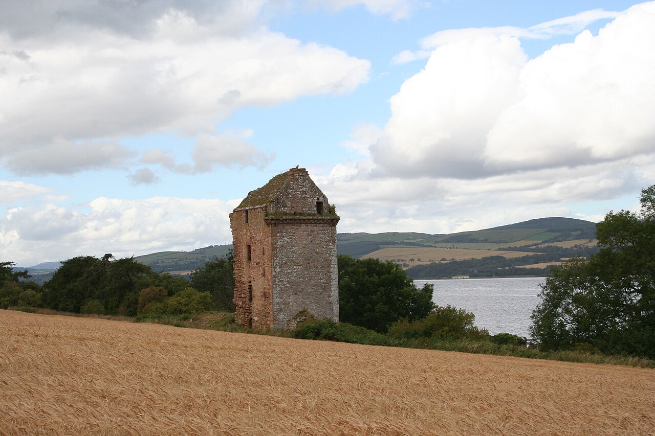
Castlecraig, also known as Craig Castle and Castle Craig, is a 16th-century fortification located on the north shore of the Black Isle in northern Scotland. It is on the south coast of the Cromarty Firth, 5 kilometres (3.1 mi) north-east of Culbokie and 19 kilometres (12 mi) north of the city of Inverness. The castle is protected as a scheduled monument.
Castlecraig is a ruined tower house. The north-east wing still stands and remains roofed, although another wing to the north-west has collapsed. The tower may have been used as a residence by the post-Reformation Bishops of Ross. Donald Monro, Dean of the Isles, may have lived at Castlecraig in the 1560s.
The New Zealand geologic formation of Castle Craig Rock is named for its similar appearance to Castlecraig.
Text adapted from “Castlecraig” on Wikipedia, CC BY-SA 4.0.
In the rankings
Castlecraig ranks #5,709 of 9,040 worldwide in the atlas's castle fame ranking, and #190 of the 225 mapped in Scotland. Founded c. 1550, it is older than 36% of the atlas's dated landmarks, one of 887 atlas entries founded in the 16th century. 11 more atlas landmarks stand within 25 km. The nearest day-trip guide is Inverness, 18 km away. It is one of the 76 landmarks on the atlas's regional map of the Scottish Highlands. See how Scotland compares in the castle statistics.
Castles nearby
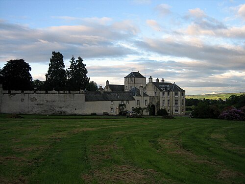
- Foulis Castle4 km · Scotland
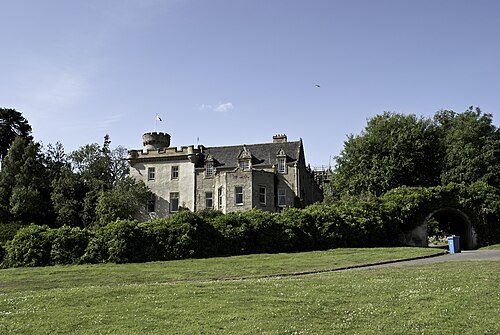
- Tulloch Castle9 km · Scotland
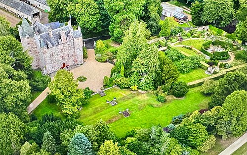
- Kilcoy Castle14 km · Scotland
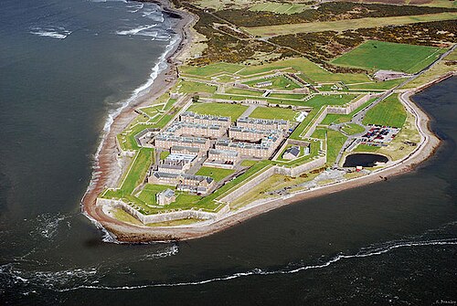
- Fort George (Highland)15 km · Scotland
More castles in Scotland
- Dean CastleScotland · 14th century
- Douglas CastleScotland · 13th century
- Dundonald CastleScotland · 14th century
- Saddell CastleScotland · 16th century