Castle
Cooling Castle
 England · 14th century
- Founded
- c. 1380
- Architect
- Henry Yevele
- Heritage status
- scheduled monument
- Location
- Cooling
- Coordinates
- 51.4555°, 0.52273°
- Open data
- Wikidata Q5167493
Description
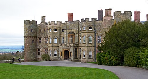
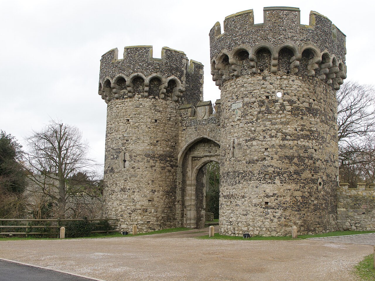
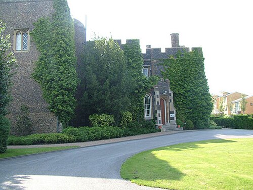
Cooling Castle is a 14th-century quadrangular castle in the village of Cooling, Kent on the Hoo Peninsula about 6 miles (9.7 km) north of Rochester. It was built in the 1380s by the Cobham family, the local lords of the manor, to guard the area against French raids into the Thames Estuary. The castle has an unusual layout, comprising two walled wards of unequal size next to each other, surrounded by moats and ditches. It was the earliest English castle designed for the use of gunpowder weapons by its defenders.
Despite this distinction, the use of gunpowder weapons against the castle proved devastating. It was captured after only eight hours when Sir Thomas Wyatt besieged it in January 1554 during his unsuccessful rebellion against Queen Mary. His attack badly damaged the castle, and it was subsequently abandoned and allowed to fall into disrepair. A farmhouse and outbuildings were constructed among the ruins a century later. Today the farmhouse is the home of the musician Jools Holland, while the nearby barn is used as a wedding venue.
Text adapted from “Cooling Castle” on Wikipedia, CC BY-SA 4.0.
In the rankings
Cooling Castle ranks #3,845 of 9,040 worldwide in the atlas's castle fame ranking, and #259 of the 360 mapped in England. Founded c. 1380, it is older than 52% of the atlas's dated landmarks, one of 758 atlas entries founded in the 14th century. Its Wikipedia articles were opened 1,897 times in the last 60 days, more than 68% of the atlas. 9 more atlas landmarks stand within 25 km. The nearest day-trip guide is Southend-on-Sea, 16 km away. See how England compares in the castle statistics.
Castles nearby
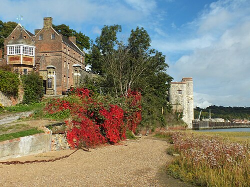
- Upnor Castle5 km · England
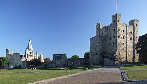
- Rochester Castle7 km · England
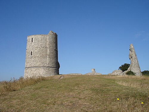
- Hadleigh Castle12 km · England
- Stone Castle17 km · England
More castles in England
- Croft CastleEngland
- Egremont CastleEngland · 12th century
- Gleaston CastleEngland · 14th century
- Hopton CastleEngland