 Romania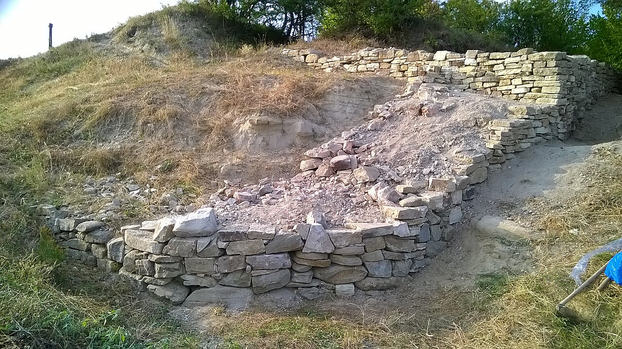
Cetatea Unguraș (at present in a state of ruin), situated on "Dealul Cetății", Unguraș, Cluj County, is inscribed on the list of historic monuments of Cluj County drawn up by the Ministry of Culture and National Heritage of Romania in 2010.
Machine-translated from “Cetatea Unguraș” on the Romanian Wikipedia, CC BY-SA 4.0.
Cetatea Unguraș ranks #8,383 of 9,035 worldwide in the atlas's castle fame ranking, and #96 of the 125 mapped in Romania. 3 more atlas landmarks stand within 25 km. The nearest day-trip guide is Cluj-Napoca, 52 km away. It is one of the 78 landmarks on the atlas's regional map of Transylvania. See how Romania compares in the castle statistics.
View on the interactive castle map →