 Romania · 11th century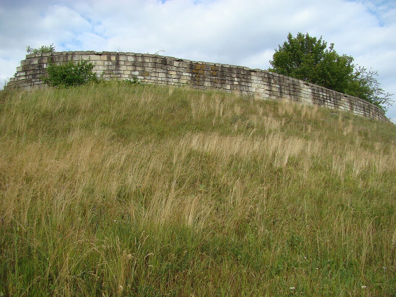
Dăbâca Fortress (also called the County Fortress) is a former royal fortress and the seat of Dăbâca County. In the 10th–14th centuries it played an important role in the history of Transylvania. The ruins of the fortress are in the present-day locality of Dăbâca in Cluj County.
Machine-translated from “Cetatea Dăbâca” on the Romanian Wikipedia, CC BY-SA 4.0.
Dăbâca Fortress ranks #8,274 of 9,035 worldwide in the atlas's castle fame ranking, and #93 of the 125 mapped in Romania. Founded c. 1050, it is older than 89% of the atlas's dated landmarks, one of 439 atlas entries founded in the 11th century. 6 more atlas landmarks stand within 25 km. The nearest day-trip guide is Cluj-Napoca, 24 km away. It is one of the 78 landmarks on the atlas's regional map of Transylvania. It is stop 25 of 26 on the Transylvania castle route, Bran to Cluj-Napoca. See how Romania compares in the castle statistics.
View on the interactive castle map →