 France · 11th century
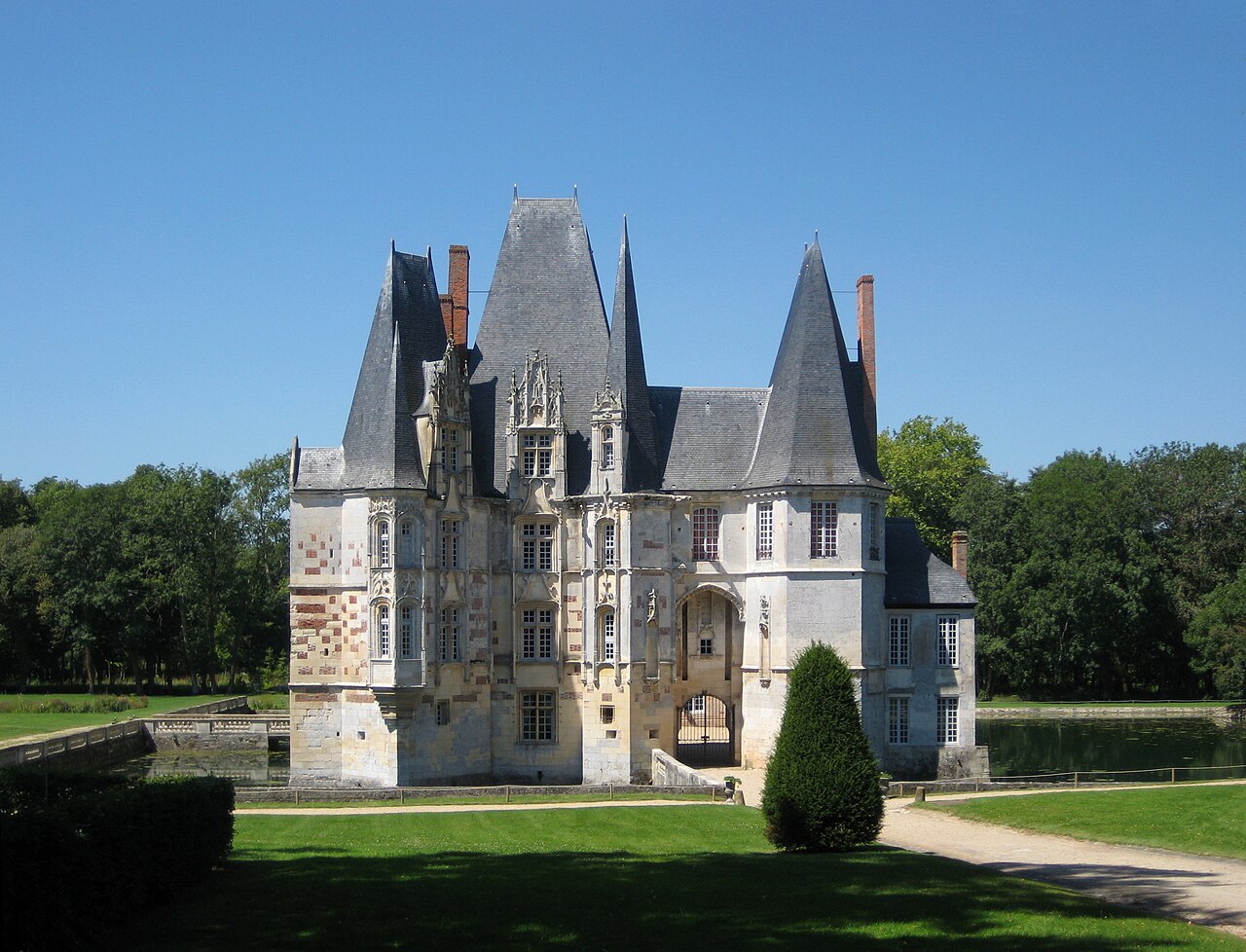
The Château d'Ô is a residence of the late 15th century, remodelled in the 16th and 17th centuries, which stands in the French commune of Mortrée, in the department of Orne, in the region of Normandy. The building is partially protected as a monument historique.
Machine-translated from “Château d'Ô (Orne)” on the French Wikipedia, CC BY-SA 4.0.
Château d'O ranks #3,082 of 9,035 worldwide in the atlas's castle fame ranking, and #229 of the 787 mapped in France. Founded c. 1050, it is older than 89% of the atlas's dated landmarks, one of 439 atlas entries founded in the 11th century. Its Wikipedia articles were opened 1,733 times in the last 60 days, more than 66% of the atlas. 1 more atlas landmarks stand within 25 km. The nearest day-trip guide is Le Mans, 72 km away. It is one of the 33 landmarks on the atlas's regional map of Normandy. See how France compares in the castle statistics.
View on the interactive castle map →