Palace
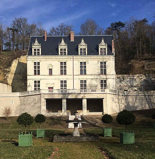
Château de La Vallière
 France · 14th century
- Founded
- c. 1350
- Heritage status
- monument historique inscrit
- Location
- Reugny
- Coordinates
- 47.4831°, 0.885°
- Open data
- Wikidata Q2969598
- Links
- Wikimedia Commons
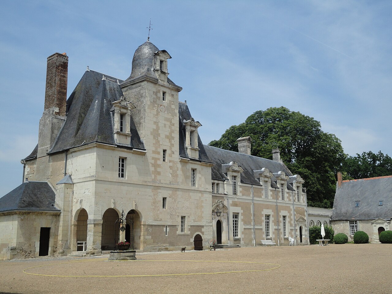
Description
The Château de La Vallière is a château of the 14th, 16th and 17th centuries registered as a historic monument since 1977.
Built on the site of a 14th-century fortress, it dominates the village of Reugny, in the department of Indre-et-Loire, on the hillside of the left bank of the Brenne.
Machine-translated from “Château de La Vallière” on the French Wikipedia, CC BY-SA 4.0.
In the rankings
Château de La Vallière ranks #7,405 of 9,902 worldwide in the atlas's castle fame ranking, and #710 of the 954 mapped in France. Founded c. 1350, it is older than 55% of the atlas's dated landmarks, one of 797 atlas entries founded in the 14th century. Its Wikipedia articles were opened 882 times in the last 60 days, more than 51% of the atlas. 10 more atlas landmarks stand within 25 km. The nearest day-trip guide is Tours, 18 km away. It is one of the 87 landmarks on the atlas's regional map of the Loire Valley. See how France compares in the castle statistics.
Castles nearby
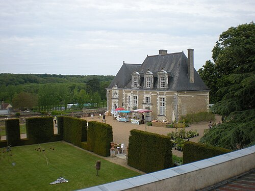
- Château de Valmer3 km · France
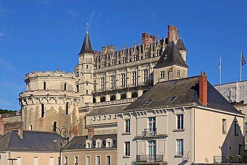
- Château d'Amboise11 km · France
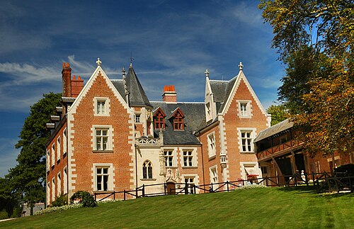
- Clos Lucé11 km · France
- Château-Gaillard (Amboise)12 km · France
More castles in France
- Château de BouligneuxFrance · 14th century
- Château de VaugienFrance
- Château de ChalaisFrance
- Château de VogüéFrance · 12th century