 France · 13th century
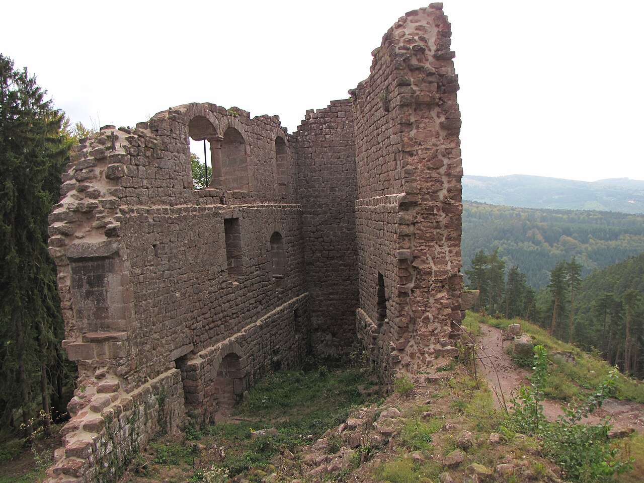
Château de Dreistein ranks #6,324 of 9,040 worldwide in the atlas's castle fame ranking, and #565 of the 787 mapped in France. Founded c. 1300, it is older than 60% of the atlas's dated landmarks, one of 1091 atlas entries founded in the 13th century. 20 more atlas landmarks stand within 25 km. The nearest day-trip guide is Strasbourg, 30 km away. It is one of the 63 landmarks on the atlas's regional map of Alsace. It is stop 16 of 32 on the Alsace castle route, Wissembourg to Mulhouse. See how France compares in the castle statistics.
The Château de Dreistein is a ruined castle in the commune of Ottrott in the Bas-Rhin département of France. It is, in fact, three separate castles built on rocky promontories, hence the name drei Stein, "three stones" in medieval German.
The castle is sited on the massif of Mont Sainte-Odile, to the west of the abbey. It overlooks the valley of the Ehn which it controls along with the castles of Ottrott (Koepfel, Rathsamhausen and Lutzelbourg) and the Château du Hagelschloss. As with the latter, it is close to the Pagan Wall of Mont Sainte-Odile.
Access to Dreistein is only possible on foot, following paths laid out by the Vosges Club (Club Vosgien).
The Château de Dreistein was built in the 13th or 14th centuries and was separated into two sections later. In the 17th century it was destroyed.
In common with all the neighbouring castles of its time, the castles at Dreistein are constructed from pink sandstone from the Vosges.
The remnants of the two castles are separated by a ditch. The western castle is flanked by a half open staircase tower.
It has been listed since 1990 as a monument historique by the French Ministry of Culture.
Text adapted from “Château de Dreistein” on Wikipedia, CC BY-SA 4.0.
View on the interactive castle map →