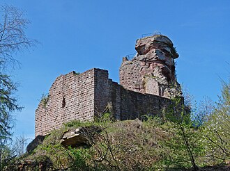
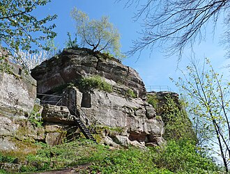
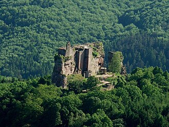
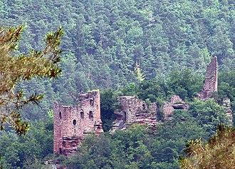
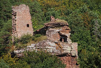
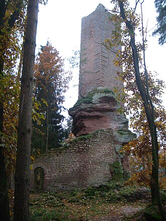
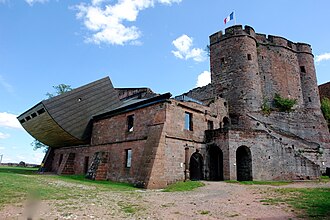
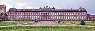
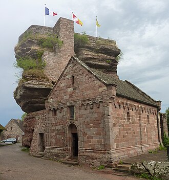
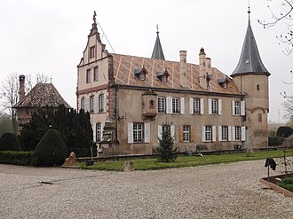
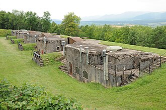
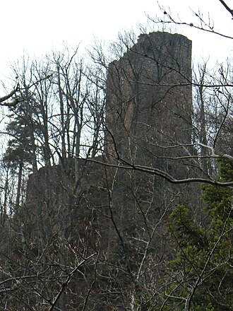
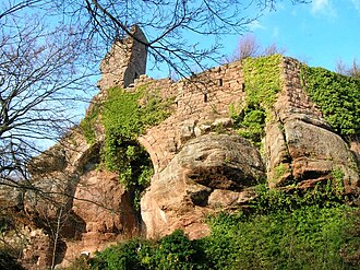
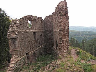
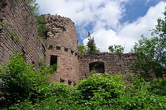
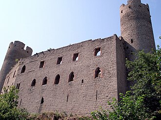
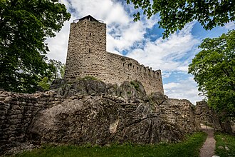
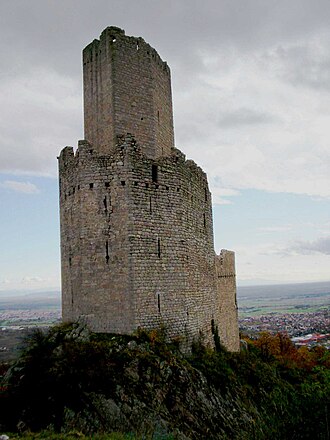
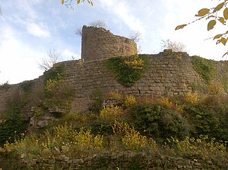
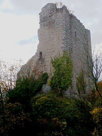
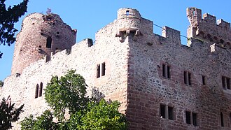
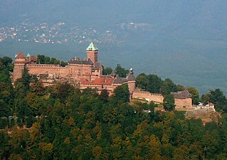
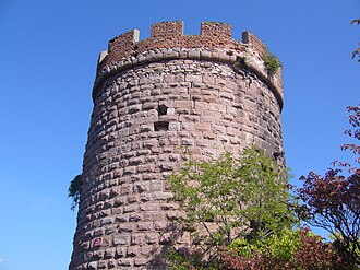
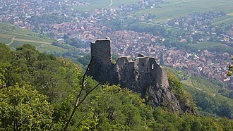
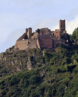
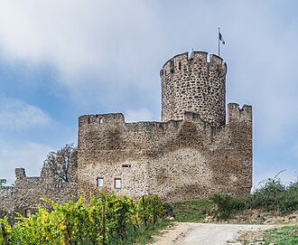
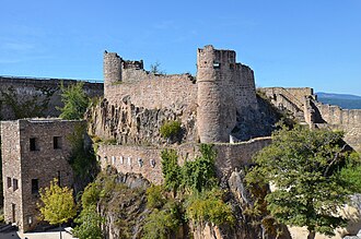
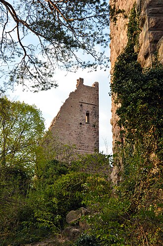
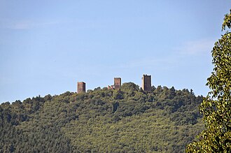
Alsace holds one of the densest sets of castle ruins in Europe, and they are all in the same place: the eastern edge of the Vosges, on the sandstone bluffs looking out over the Rhine plain. They went up in the 12th and 13th centuries under the Hohenstaufen, and many were wrecked in the 17th: abandoned in the Thirty Years’ War, then slighted under Louis XIV, who took the province and pulled the walls down behind him.
What this atlas maps on the Alsace castle route
They are the 32 best known of the 55 landmarks this atlas maps within 17 km of the line, spanning 11th century to 19th century.
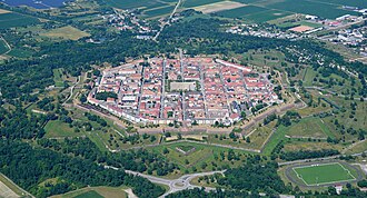
The best known is Neuf-Brisach, ranked 129 of the 9,035 landmarks in the atlas by Wikipedia presence and real readership. The oldest is Les Trois Châteaux, founded c. 1025.
The route runs through France. The same ground, without the itinerary: Castles in Alsace.
Travelling it
The Route des Vins runs the length of the plain below, and the castles are the switchback roads and marked footpaths that leave it going west. Haut-Kœnigsbourg, rebuilt for Kaiser Wilhelm II between 1900 and 1908, is the one you can drive to the gate of.
Day-trip guides for the towns and cities along it: Karlsruhe · Strasbourg · Freiburg im Breisgau · Mulhouse · Kaiserslautern · Colmar.
See the route on the map →