 Italy · 13th century
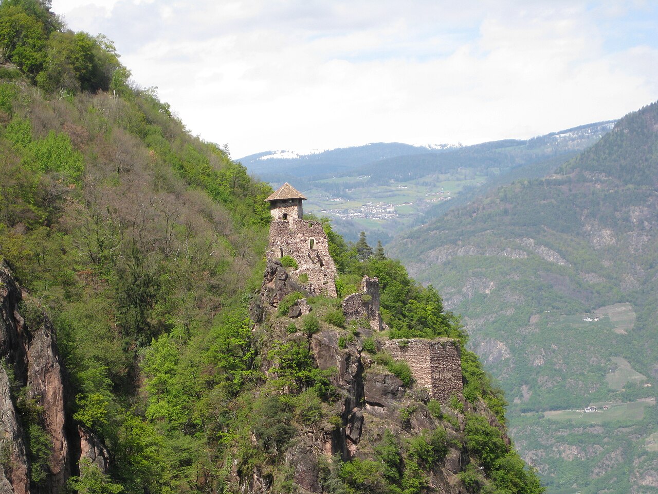
Festenstein Castle ranks #6,855 of 9,040 worldwide in the atlas's castle fame ranking, and #480 of the 555 mapped in Italy. Founded c. 1250, it is older than 67% of the atlas's dated landmarks, one of 1091 atlas entries founded in the 13th century. 15 more atlas landmarks stand within 25 km. The nearest day-trip guide is Innsbruck, 85 km away. It is one of the 30 landmarks on the atlas's regional map of South Tyrol. See how Italy compares in the castle statistics.
Festenstein Castle (also Burg Festenstein, Ruine Festenstein, Schloss Festenstein, Castelforte, and Castel Forte) is a 13th-century castle ruin, located above Andrian in South Tyrol, in northern Italy. It is perched on a rocky outcrop called the Gaider Schlucht, and can only be reached via a steep mountain climb. The castle was built around the mid-13th century, and was used as a stronghold by the many warlords of the area. It was saved from further deterioration in 2008.
Text adapted from “Festenstein Castle” on Wikipedia, CC BY-SA 4.0.
View on the interactive castle map →