Ruin
Château de Fère-en-Tardenois
 France · 13th century
- Founded
- 1206
- Heritage status
- monument historique inscrit · classified historical monument
- Location
- Fère-en-Tardenois
- Coordinates
- 49.22222°, 3.53194°
- Open data
- Wikidata Q2969290
Description
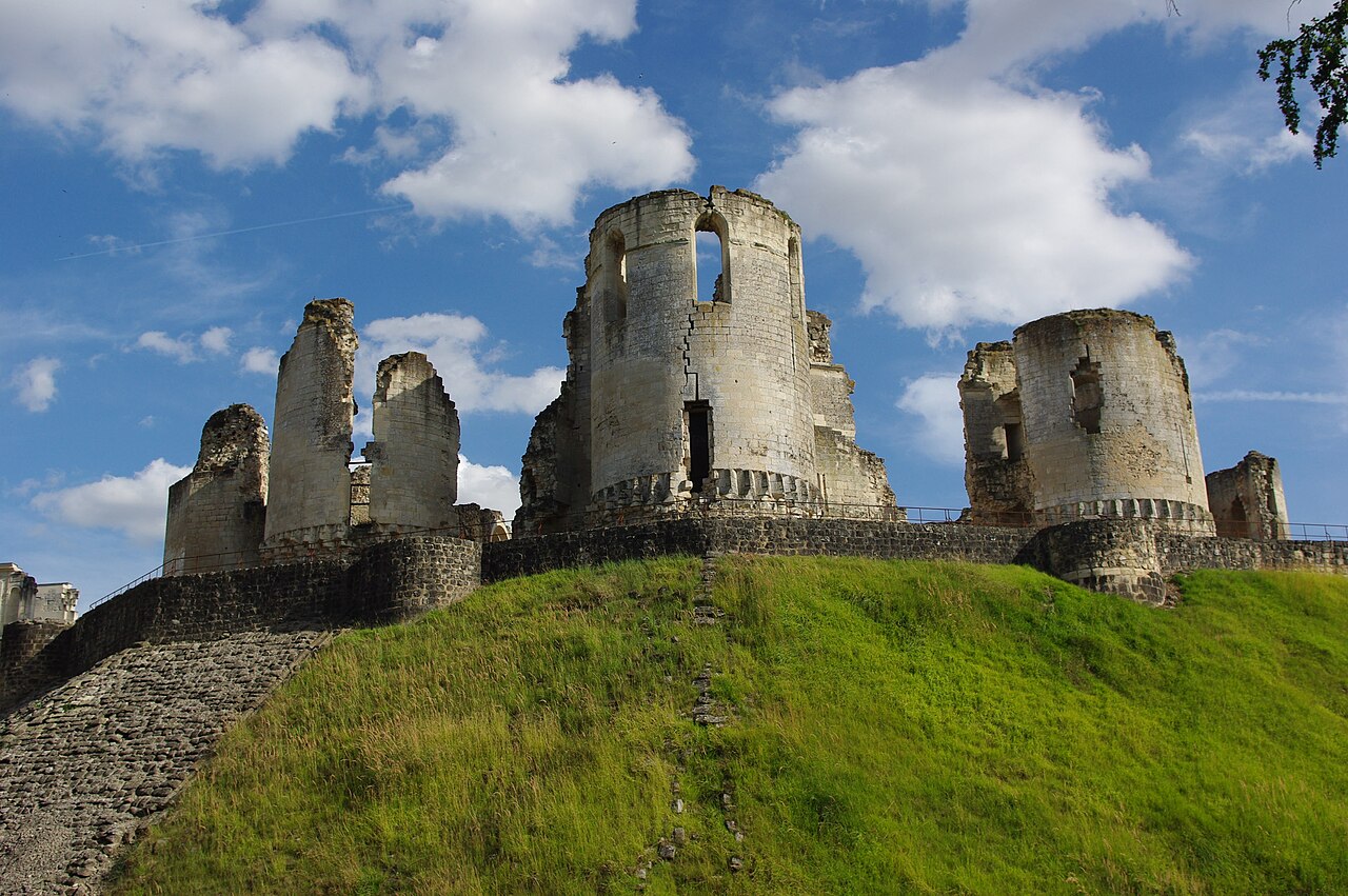
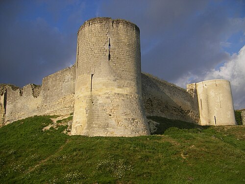
The Château de Fère-en-Tardenois is a ruined castle in the commune of Fère-en-Tardenois in the Aisne département of France.
Construction of the original castle began in 1206. Little of that remains today. It had seven towers on an enormous artificial motte whose slopes were covered in slabs of sandstone and served as a model for numerous other castles. The connétable Anne de Montmorency, companion of Francis I, transformed the castle in around 1528. In 1555, he enlarged it with the addition of the famous Renaissance bridge carrying a covered gallery. These works were carried out by the architect Jean Bullant (who constructed the gallery at the Château de Chenonceaux) and, possibly, the sculptor Jean Goujon, which would explain the quality of the sculptures, the stone and the colours.
Ownership of the castle is shared by the département and a private company. It is open to the public. The Château de Fère-en-Tardenois has been listed since 1862 as a monument historique by the French Ministry of Culture.
Text adapted from “Château de Fère-en-Tardenois” on Wikipedia, CC BY-SA 4.0.
In the rankings
Château de Fère-en-Tardenois ranks #4,810 of 9,040 worldwide in the atlas's castle fame ranking, and #409 of the 787 mapped in France. Founded 1206, it is older than 74% of the atlas's dated landmarks, one of 1091 atlas entries founded in the 13th century. Its Wikipedia articles were opened 1,694 times in the last 60 days, more than 65% of the atlas. 1 more atlas landmarks stand within 25 km. The nearest day-trip guide is Compiègne, 56 km away. See how France compares in the castle statistics.
Castles nearby
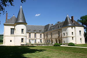
- Château de Condé24 km · France
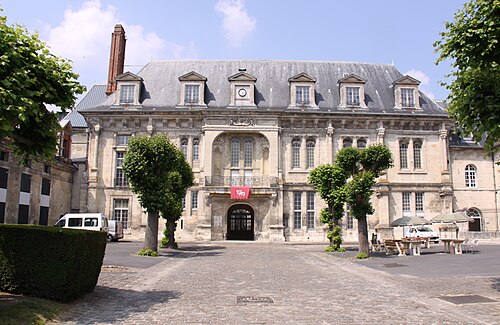
- Villers-Cotterêts Castle32 km · France
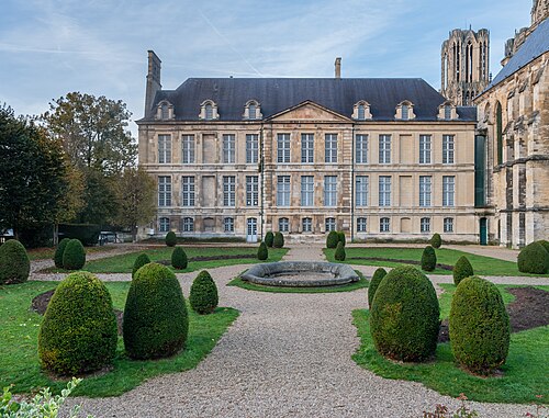
- Palace of Tau37 km · France
- Château de Coucy37 km · France
More castles in France
- Château de GrizacFrance · 13th century
- Château de GudanesFrance · 18th century
- Château de GuiryFrance · 17th century
- Château de HattonchâtelFrance · 9th century