 France · 12th century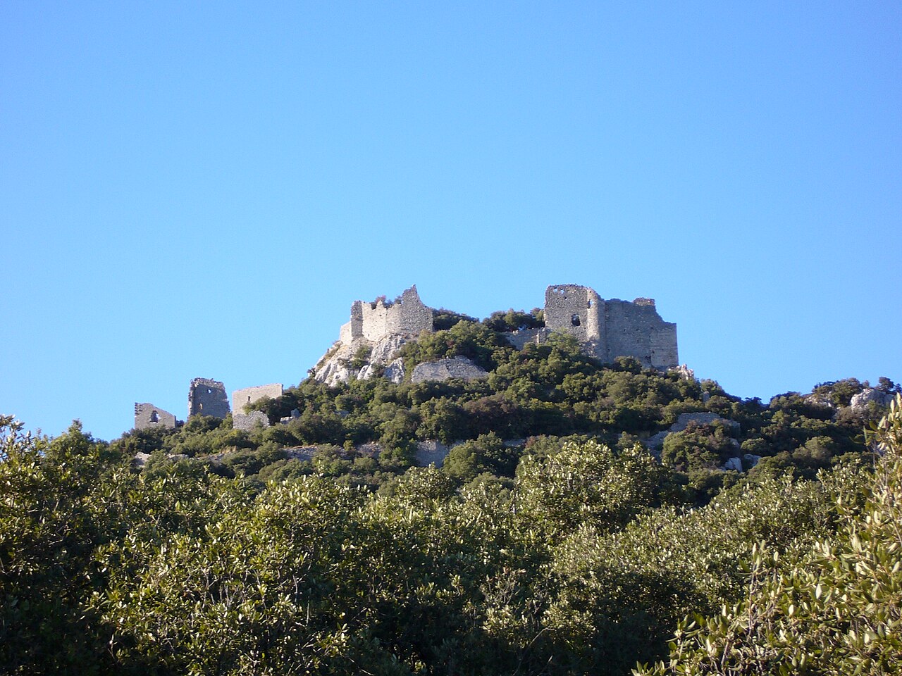
The Château de Montferrand is a ruined medieval castle in the commune of Saint-Mathieu-de-Tréviers, in the Hérault department of southern France. It stands on a limestone spur on the eastern ridge of the Pic Saint-Loup, above the village. First documented in the early 12th century, it was a seat of the Counts of Melgueil and later belonged to the bishops of Maguelone. It has been classified as a monument historique since 2024.
Text adapted from “Château de Montferrand” on Wikipedia, CC BY-SA 4.0.
Château de Montferrand ranks #6,955 of 9,079 worldwide in the atlas's castle fame ranking, and #640 of the 793 mapped in France. Founded c. 1150, it is older than 80% of the atlas's dated landmarks — one of 756 atlas entries founded in the 12th century. 2 more atlas landmarks stand within 25 km. See how France compares in the castle statistics.
View on the interactive castle map →