 France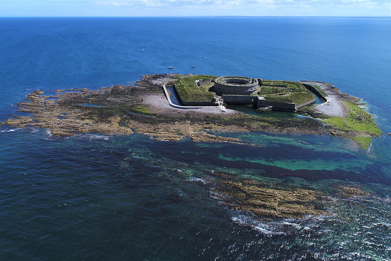
Îles Saint-Marcouf comprise two small uninhabited islands off the coast of Normandy, France. They lie in the Baie de la Seine region of the English Channel and are 6.5 km (4.0 mi) east of the coast of the Cotentin Peninsula at Ravenoville and 13 km (8 mi) from the island of Tatihou and the harbour at Saint-Vaast-la-Hougue. In addition to the fortifications described below, on the larger island there is a lighthouse that dates to 1948.
The larger island, île du Large, is 500 m (1,600 ft) east of the smaller île de Terre. They have a total area of 1,400 ha (3,500 acres) and a maximum altitude of 10 m (33 ft).
The islands take their name from Saint Marcouf, a saint born in Bayeux, whom it was said could cure anyone of scrofula. He died on the Îles Saint-Marcouf on 1 May 588 CE. There was a monastic presence on the islands until the 15th century.
Text adapted from “Îles Saint-Marcouf” on Wikipedia, CC BY-SA 4.0.
Îles Saint-Marcouf ranks #2,590 of 9,035 worldwide in the atlas's castle fame ranking, and #202 of the 787 mapped in France. Its Wikipedia articles were opened 2,779 times in the last 60 days, more than 76% of the atlas. It is one of the 33 landmarks on the atlas's regional map of Normandy. See how France compares in the castle statistics.
View on the interactive castle map →