Fortress
Citadelle de Montmédy
 France · 16th century
- Founded
- c. 1545
- Heritage status
- classified historical monument · monument selected by the mission to identify immovable heritage in danger (2018)
- Location
- Montmédy
- Coordinates
- 49.51604°, 5.35984°
- Open data
- Wikidata Q22959597
Description
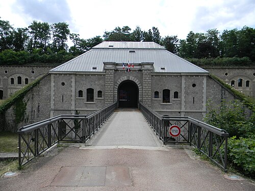
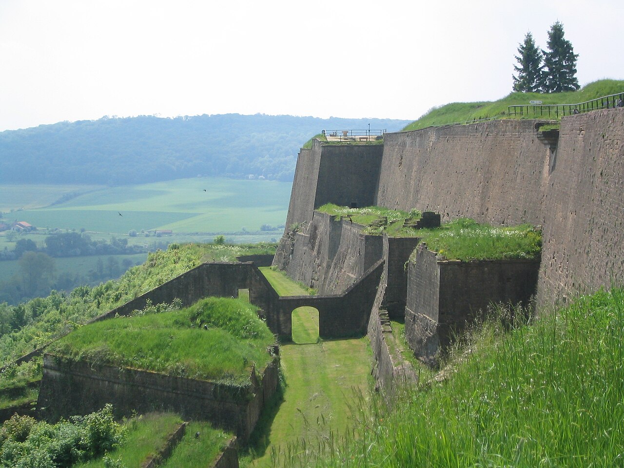
The stronghold of Montmédy is a military structure in the commune of Montmédy, in the department of Meuse, in Lorraine, in the administrative region of Grand Est.
The stronghold of Montmédy was built on the orders of Charles V, around 1545, within the Luxembourg territory that was then part of the Netherlands. It was ceded to France in 1659 under the Treaty of the Pyrenees. It was remodelled by Vauban in the 17th century and then by Séré de Rivières in the 19th century.
The stronghold, with its ramparts and glacis, has been listed as a historic monument by decree of 31 October 1991.
The stronghold of Montmédy is often mistakenly called a citadel. Although the two types of structure have points in common, a stronghold such as Montmédy also housed civilian life within its ramparts, whereas a citadel is reserved for military life.
Machine-translated from “Citadelle de Montmédy” on the French Wikipedia, CC BY-SA 4.0.
In the rankings
Citadelle de Montmédy ranks #4,833 of 9,040 worldwide in the atlas's castle fame ranking, and #410 of the 787 mapped in France. Founded c. 1545, it is older than 39% of the atlas's dated landmarks, one of 887 atlas entries founded in the 16th century. Its Wikipedia articles were opened 1,669 times in the last 60 days, more than 65% of the atlas. 1 more atlas landmarks stand within 25 km. The nearest day-trip guide is Luxembourg, 57 km away. See how France compares in the castle statistics.
Castles nearby
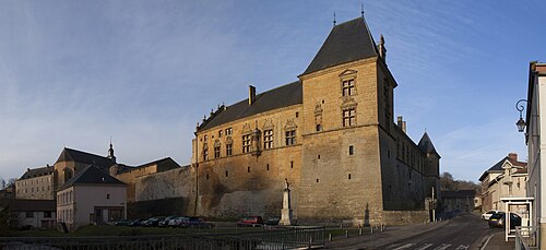
- Château de Cons-la-Grandville25 km · France
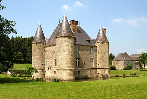
- Château de Landreville30 km · France
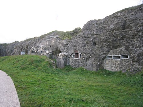
- Fort Douaumont34 km · France
- Fort Vaux36 km · France
More castles in France
- Fort du BruissinFrance · 19th century
- Fort de la DuchereFrance · 19th century
- Fort de LoyasseFrance · 19th century
- Fort de CaluireFrance · 19th century