 Ireland · 17th century
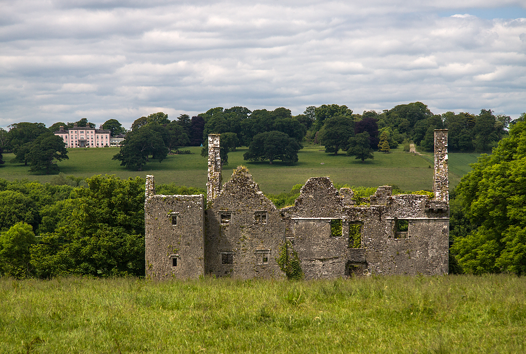
Dromaneen Castle ranks #7,645 of 9,040 worldwide in the atlas's castle fame ranking, and #156 of the 178 mapped in Ireland. Founded c. 1610, it is older than 30% of the atlas's dated landmarks, one of 710 atlas entries founded in the 17th century. 3 more atlas landmarks stand within 25 km. The nearest day-trip guide is Cork, 31 km away. See how Ireland compares in the castle statistics.
Dromaneen Castle is a fortified house and National Monument located in County Cork, Ireland.
It was one of the three main castles of the ancient O’Callaghan clan. The ruin is that of a Jocobean mansion and it is said to have been built by Caher O’Callaghan in around 1610. It was built to replace an older fortification, which had probably been in the style of a tower house. It was here that the Papal Nuncio Rinunicci was entertained in 1642. The castle was destroyed in 1652 during the Irish Confederate Wars. No effort was made to defend it and it was apparently occupied by Sir Richard Herrill, and Tynte of Youghal after which it was passed to Sir Richard Kyrle.
Text adapted from “Dromaneen Castle” on Wikipedia, CC BY-SA 4.0.
View on the interactive castle map →