 Sweden · 17th century
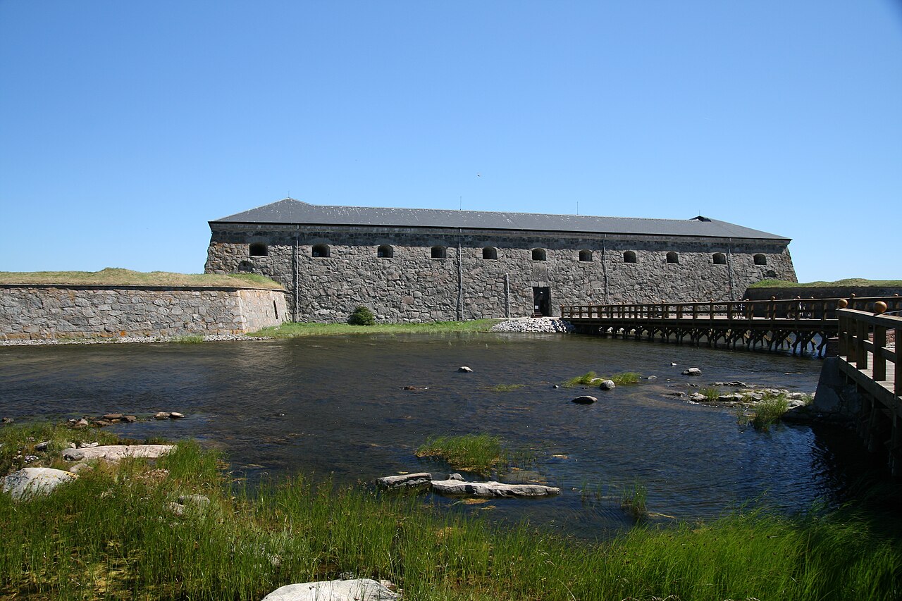
Drottningskär Citadel ranks #6,504 of 9,040 worldwide in the atlas's castle fame ranking, and #185 of the 209 mapped in Sweden. Founded 1680, it is older than 23% of the atlas's dated landmarks, one of 710 atlas entries founded in the 17th century. The nearest day-trip guide is Kristianstad, 90 km away. See how Sweden compares in the castle statistics.
Drottningskär Citadel (Swedish: Drottningskärs kastell) is a defensive fortification on the island of Aspö, located 5 km east of Karlskrona. Together with the fort of Kungsholm, situated on the other side of the strait between the islands of Aspö and Tjurkö, it secures the 1,200-metre-wide sea route to Karlskrona. It was built at the end of the 17th century and was never destroyed, and the British admiral Nelson is said to have described it as impregnable. The castle has been a state monument since 25 January 1935.
Machine-translated from “Zamek Drottningskär” on the Polish Wikipedia, CC BY-SA 4.0.
View on the interactive castle map →