 Sweden · 12th century
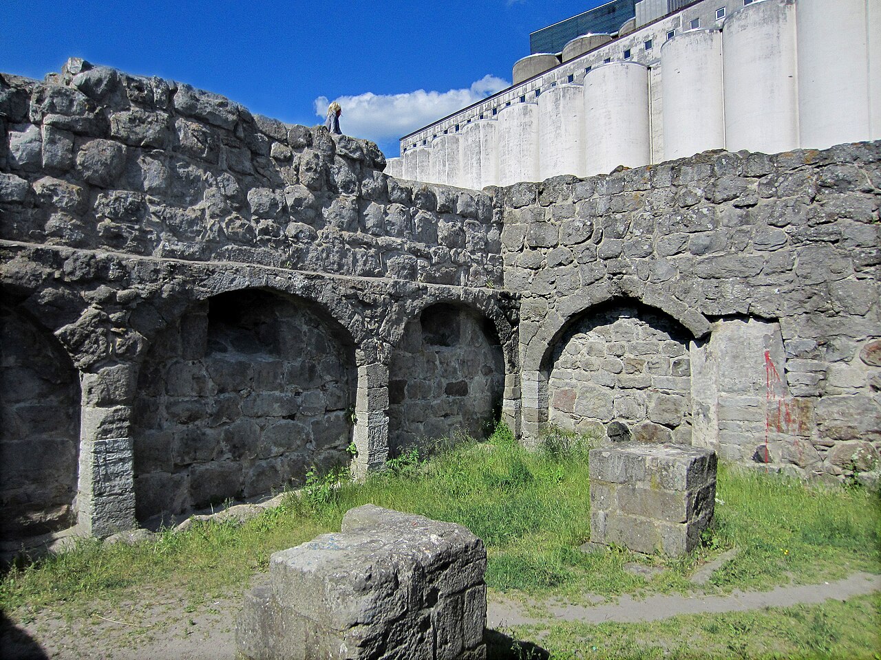
Åhus Castle ranks #6,740 of 9,040 worldwide in the atlas's castle fame ranking, and #190 of the 209 mapped in Sweden. Founded c. 1200, it is older than 75% of the atlas's dated landmarks, one of 763 atlas entries founded in the 12th century. 7 more atlas landmarks stand within 25 km. The nearest day-trip guide is Kristianstad, 15 km away. See how Sweden compares in the castle statistics.
Åhus Castle was a castle in Åhus, which belongs to the Swedish municipality of Kristianstad. Parts survive as a ruin.
The ruin is located east of the old town of Åhus on the north side of the harbour.
The castle complex had been laid out in the middle of the 12th century at the instigation of Archbishop Eskil. The castle was surrounded by a moat, and access was via a drawbridge. The building had at least two storeys and measured 30 by 10 metres. Duke Charles conquered Åhus in 1569 and had the castle destroyed. It was not rebuilt.
Towards the end of the 19th century the ruin was excavated from the drifting sand which had meanwhile covered it.
Machine-translated from “Aose hus” on the German Wikipedia, CC BY-SA 4.0.
View on the interactive castle map →